search.ch

Panorama Bike

National route No. 2, Les Paccots–Montreux
  • Image 1

Description

National route
No. 2 (Les Paccots–Montreux)
Length
28 km
Ascent • Descent
↑ 700 m • ↓ 1400 m
Lowest point • Highest point
387 m • 1582 m
Grade
medium
Fitness level
easy (opposite direction: difficult)
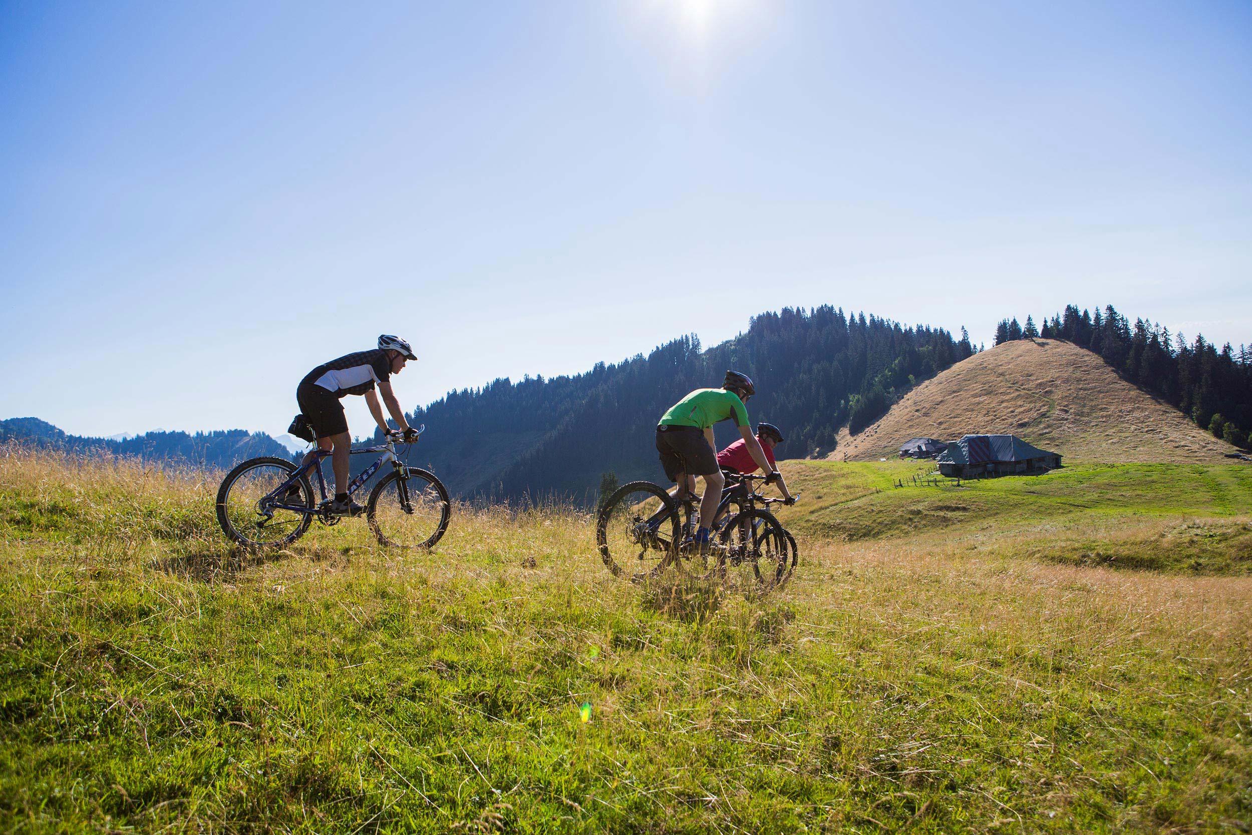
The final stage of the Panorama Bike is nothing less than spectacular: From the tiny ski area of Les Paccots, the route climbs continually to the Col de Soladier, on along an attractive high-level route to Col de Jaman, above Montreux. Then follows a thrilling 1200 metre descent to the shores of Lac Léman.

Height profile

Weather:

Comments about this activity or place?

Thank you for your feedback!