search.ch

Zürich-Zugerland-Panoramaweg

Regional route No. 47, Zürich (Triemli)–Albis Passhöhe
  • Image 1

Description

Regional route
No. 47 (Zürich (Triemli)–Albis Passhöhe)
Length
13 km
Ascent • Descent
↑ 700 m • ↓ 380 m
Lowest point • Highest point
482 m • 895 m
Hiking time
4 h
Grade
easy (hiking trail)
Fitness level
medium
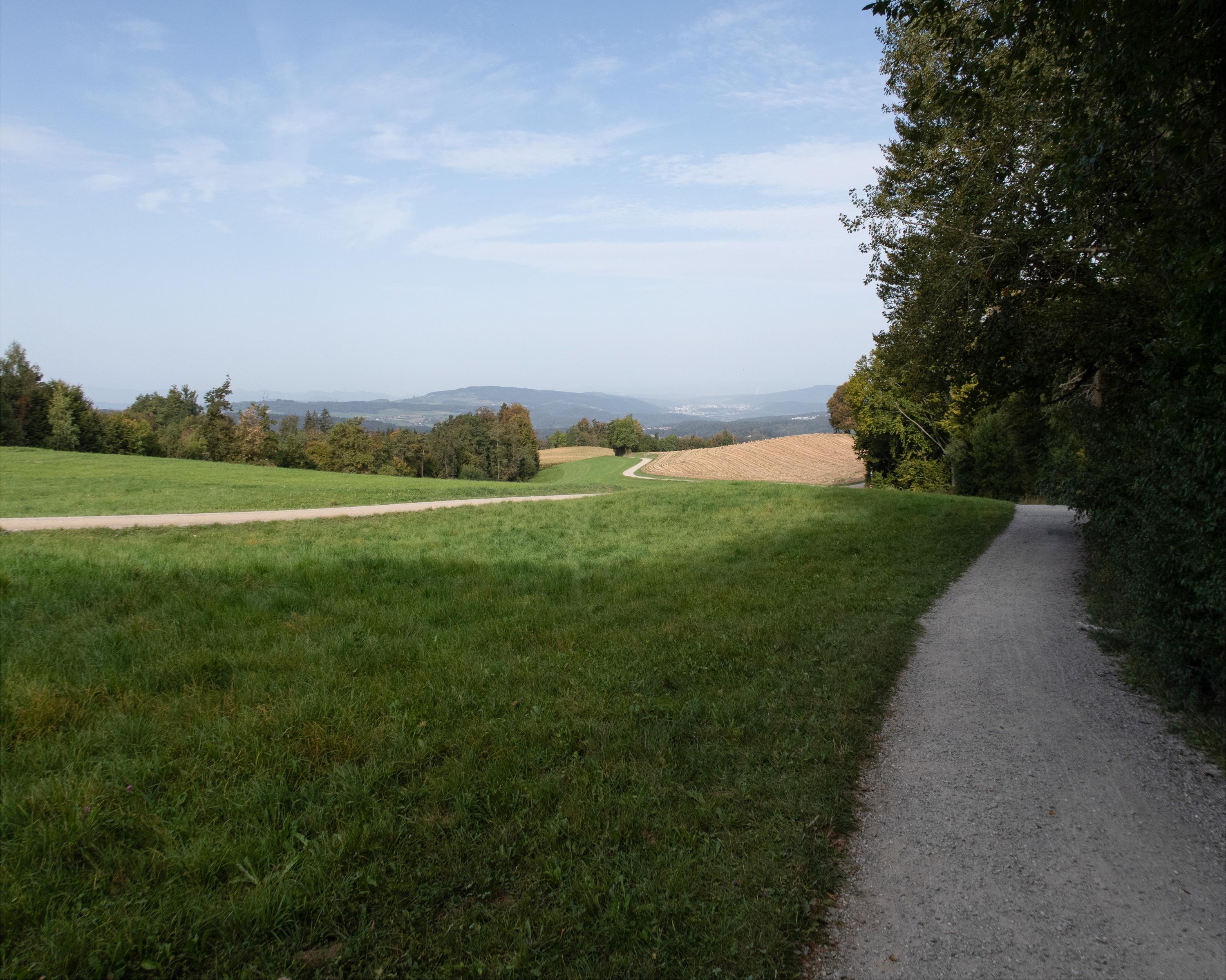
Enjoyable hike with superb views along the Albis ridge. Panoramic views from the Black Forest to the northern Jura foothills and the Glarner Alps. Wild garlic in spring. Castle ruins not far from the observation tower take you back to the Middle Ages.

Height profile

Weather:

Comments about this activity or place?

Thank you for your feedback!