search.ch

Walserweg

Regional route No. 35, Chamonas d’Ela CAS–Monstein
  • Image 1

Description

Regional route
No. 35 (Chamonas d’Ela CAS–Monstein)
Length
22 km
Ascent • Descent
↑ 1050 m • ↓ 1650 m
Lowest point • Highest point
998 m • 2253 m
Hiking time
7 h
Grade
medium (mountain hiking trail)
Fitness level
difficult
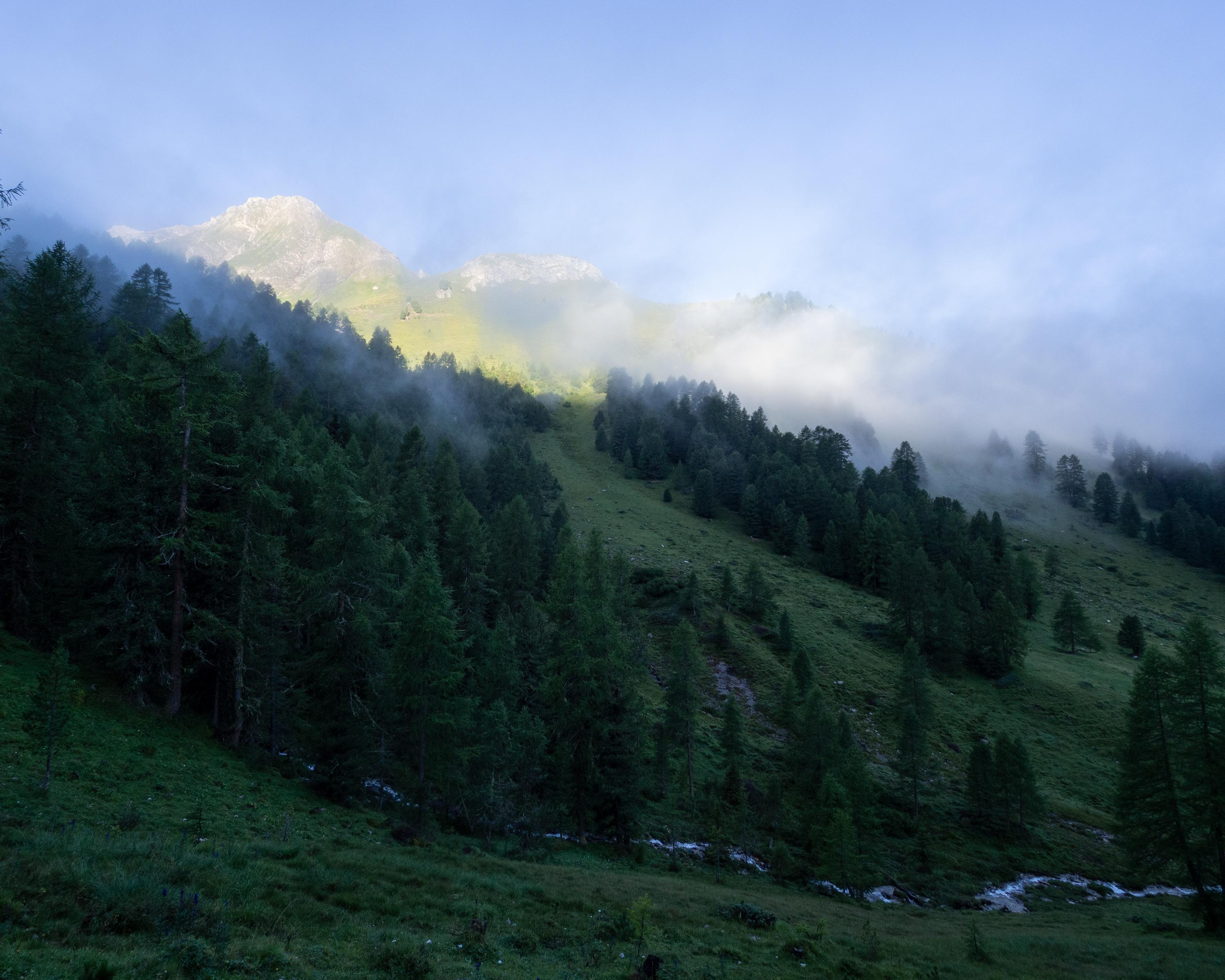
Before us lies the romantic Albulatal valley with Filisur. Views down to the Landwasser viaduct, impressive trail through Breitrüfi and Drostobel. Jenisberg, settled by Walser folk, nestles on a terrace. Former ore mine on Silberberg, Walser granaries in Monstein.

Height profile

Weather:

Comments about this activity or place?

Thank you for your feedback!