DE
FR
IT
EN
Directory
Weather
Map / Route
Timetable
Leisure
TV guide
Cinema
Snow
Web search
Apps
More
Personal Data »
Login:
Register
Password forgotten
or
Log in with local.ch
Log in with Apple
Log in with Facebook
Log in with Google
Log in with LinkedIn
Please note that our new
privacy statement
as well as the revised
terms and conditions of use
apply.
Leisure
Hike in Zurich Region
Jura Crest Trail, Stage 1/16
National route No. 5, Stage 1: Dielsdorf – Brugg
Description
National route
No. 5 (Dielsdorf – Nyon)
Length
25 km
Ascent • Descent
↑ 900 m • ↓ 1000 m
Lowest point • Highest point
330 m • 860 m
Hiking time
7 h
Grade
easy
Fitness level
difficult
National route No. 5:
Jura Crest Trail
Stages
0. Ballaigues – Le Pont
0. Balsthal – Weissenstein
0. St-Cergue – Nyon
0. Ste-Croix – Ballaigues
0. Le Pont – Col du Marchairuz
0. Brugg AG – Staffelegg
0. Les Rochats – Ste-Croix
0. Weissenstein – Frinvillier
0. Vue des Alpes – Noiraigue
0. Noiraigue – Les Rochats
0. Col du Marchairuz – St-Cergue
0. Staffelegg – Hauenstein
0. Chasseral – Vue des Alpes
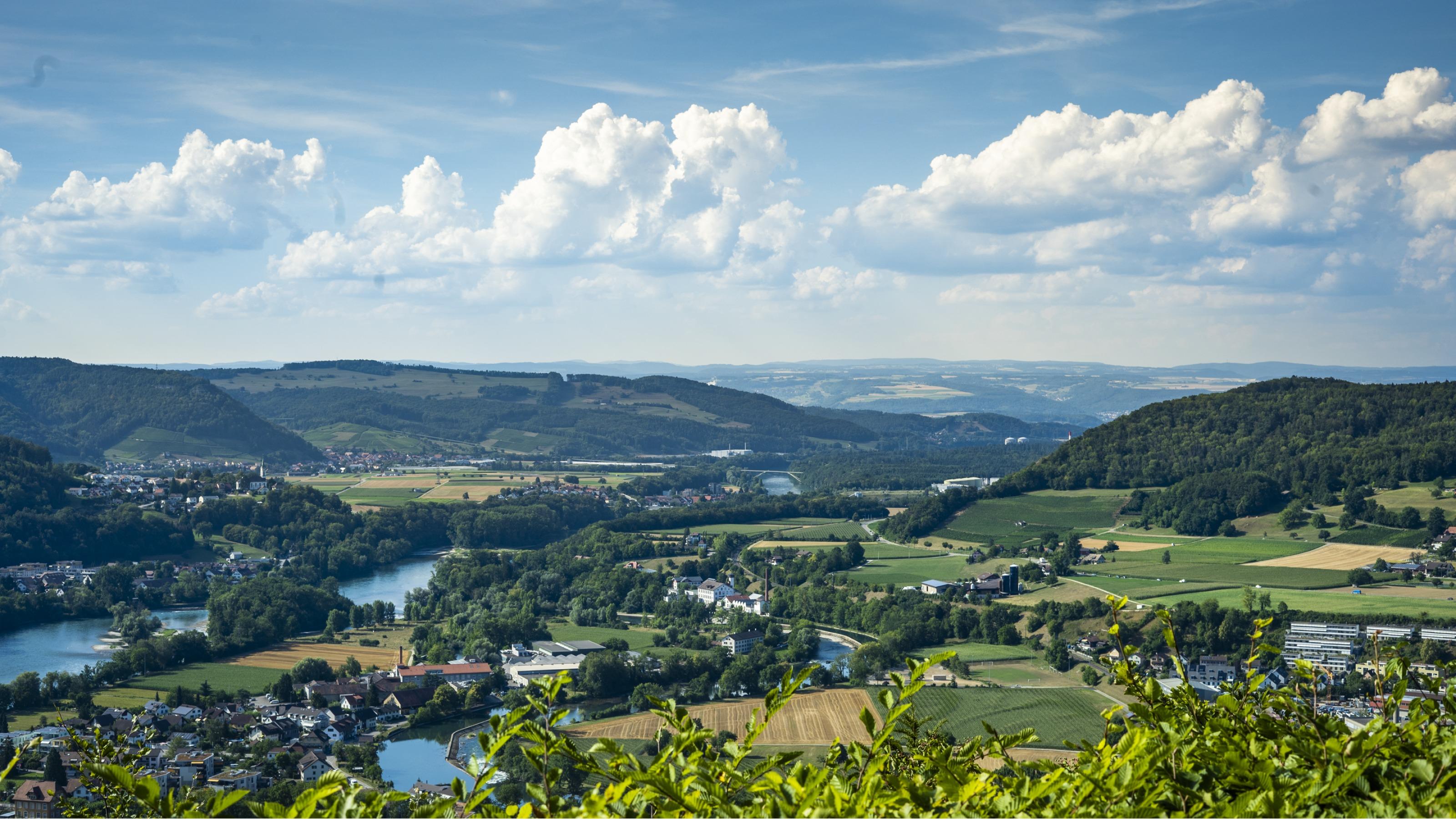
0. Dielsdorf – Brugg
0. Frinvillier – Chasseral
0. Hauenstein – Balsthal
Gently uphill through vineyards to the small town of Regensberg and Lägern with wonderful views. Then the descent to Baden and to the Gebenstorfer Horn with views of Switzerland’s natural water resources, Brugg on the River Aare and nearby Windisch.
Comments on this information?
We welcome your feedback!
Presented by
Route
Height profile
Weather:
More...
Comments about this activity or place?
Incorrect information
Missing information
Another topic
Thank you for your feedback!
Close