DE
FR
IT
EN
Directory
Weather
Map / Route
Timetable
Leisure
TV guide
Cinema
Snow
Web search
Apps
More
Personal Data »
Login:
Register
Password forgotten
or
Log in with local.ch
Log in with Apple
Log in with Facebook
Log in with Google
Log in with LinkedIn
Please note that our new
privacy statement
as well as the revised
terms and conditions of use
apply.
Leisure
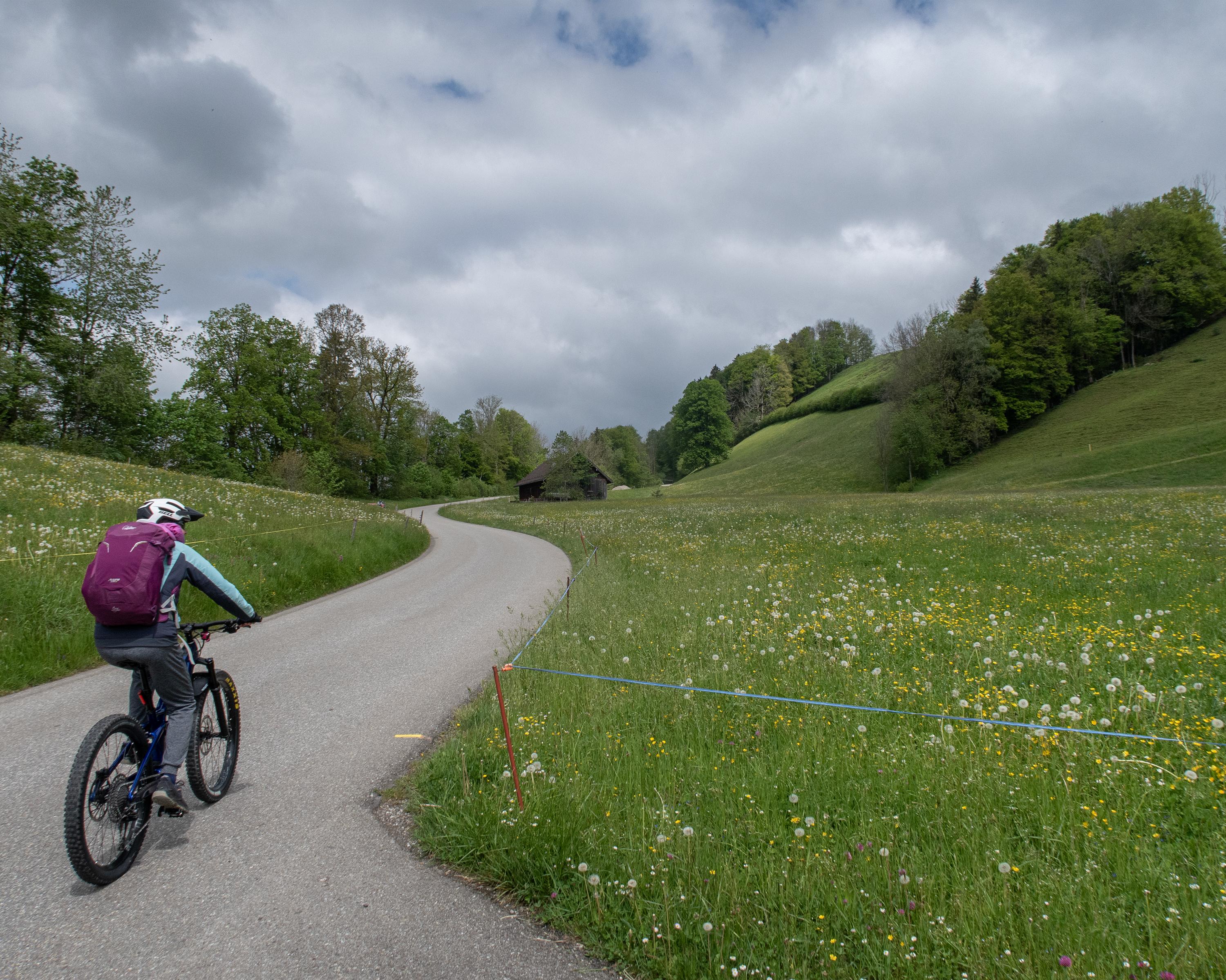
Biking in Lake Constance
Obstgarten-Route
Regional route No. 75, Arbon – Nesslau
Description
Regional route
No. 75 (Arbon – Nesslau)
Length
56 km
Ascent • Descent
↑ 1350 m • ↓ 950 m
Lowest point • Highest point
398 m • 1110 m
Fitness level
medium
Regional route No. 75: Obstgarten-Route
Stages
0. Herisau – Nesslau
0. Arbon – Herisau
After the wide Bodensee you soon cross the monastery town of St. Gallen. After Herisau you tackle the hilly outcrop of the Säntis, reach Toggenburg and pedal through a tradition-rich orchard landscape, a delight for both palate and soul.
Comments on this information?
We welcome your feedback!
Presented by
Route
Height profile
Weather:
More...
Comments about this activity or place?
Incorrect information
Missing information
Another topic
Thank you for your feedback!
Close