DE
FR
IT
EN
Directory
Weather
Map / Route
Timetable
Leisure
TV guide
Cinema
Web search
Apps
More
Personal Data »
Login:
Register
Password forgotten
or
Log in with local.ch
Log in with Apple
Log in with Facebook
Log in with Google
Log in with LinkedIn
Please note that our new
privacy statement
as well as the revised
terms and conditions of use
apply.
Leisure
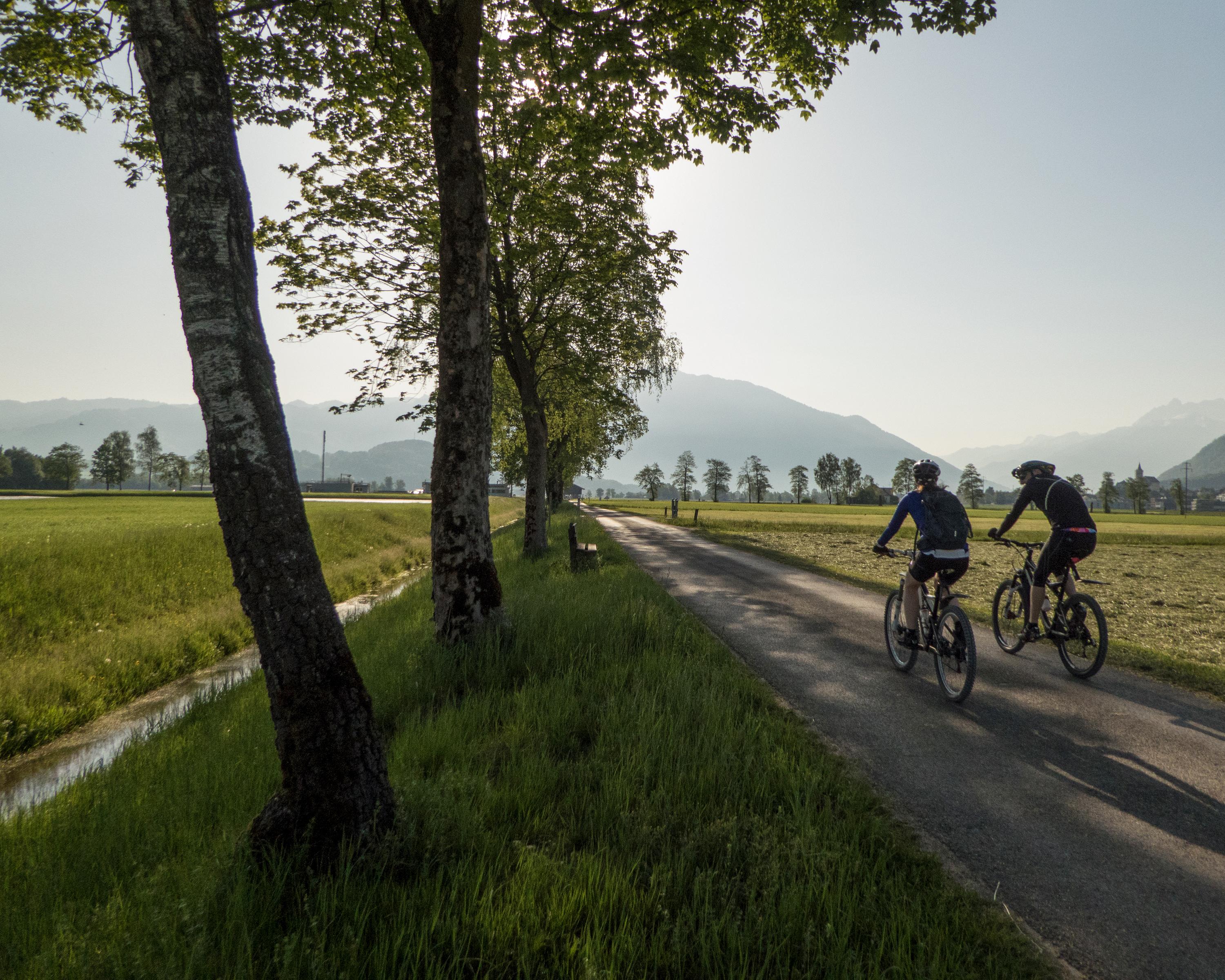
Biking in Zurich Region
Rhein–Hirzel–Linth
Regional route No. 32, Pfäffikon SZ–Niederurnen (Ziegelbrücke)
Description
Regional route
No. 32 (Pfäffikon SZ–Niederurnen (Ziegelbrücke))
Length
30 km
Ascent • Descent
↑ 180 m • ↓ 170 m
Lowest point • Highest point
407 m • 473 m
Fitness level
easy
A short splash in the Obersee, the world becomes flat, the fields at March are huge, green and clearly laid out. The former floodplain has a well-developed motorway and railway system, electricity races through the area on dozens of cables.
Comments on this information?
We welcome your feedback!
Presented by
Route
Height profile
Weather:
More...
Comments about this activity or place?
Incorrect information
Missing information
Another topic
Thank you for your feedback!
Close