search.ch

Seeland-Solothurn-Weg

Regional route No. 76, Bätterkinden–Solothurn
  • Image 1

Description

Regional route
No. 76 (Bätterkinden–Solothurn)
Length
18 km
Ascent • Descent
↑ 140 m • ↓ 180 m
Lowest point • Highest point
426 m • 496 m
Hiking time
4 h 15 min
Grade
easy (hiking trail)
Fitness level
medium
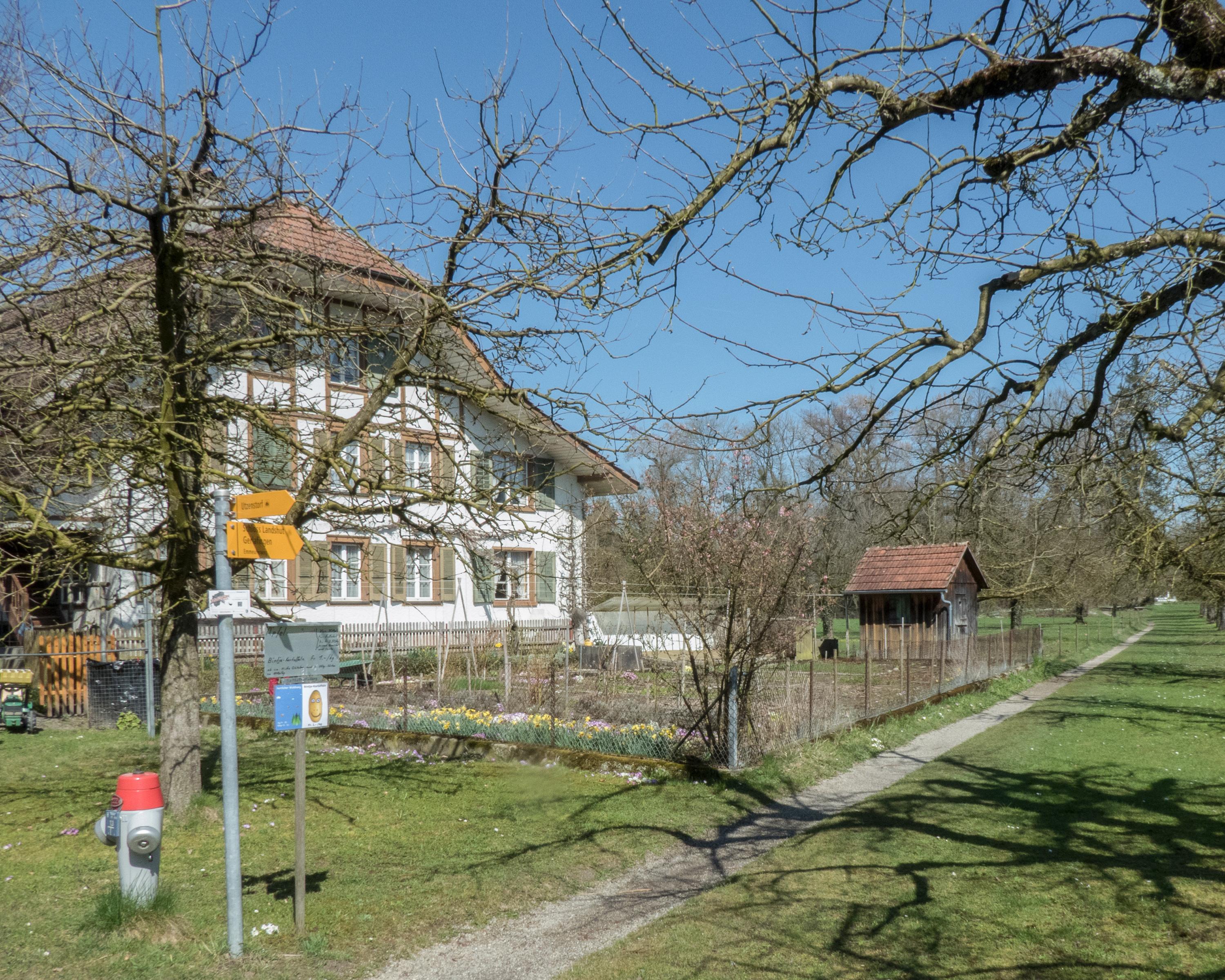
This stage leads along the Emme's lovely, secluded riverside path to Solothurn on the Aare. Industrial buildings contrast with opportunities to spend time by the water. In Solothurn, by its own account, Switzerland's most beautiful baroque town, numerous sights await you.

Height profile

Weather:

Comments about this activity or place?

Thank you for your feedback!