search.ch

ViaRhenana

Regional route No. 60, Stein am Rhein–Schaffhausen
  • Image 1

Description

Regional route
No. 60 (Stein am Rhein–Schaffhausen)
Length
22 km
Ascent • Descent
↑ 240 m • ↓ 240 m
Lowest point • Highest point
391 m • 432 m
Hiking time
5 h 25 min
Grade
easy (hiking trail)
Fitness level
difficult
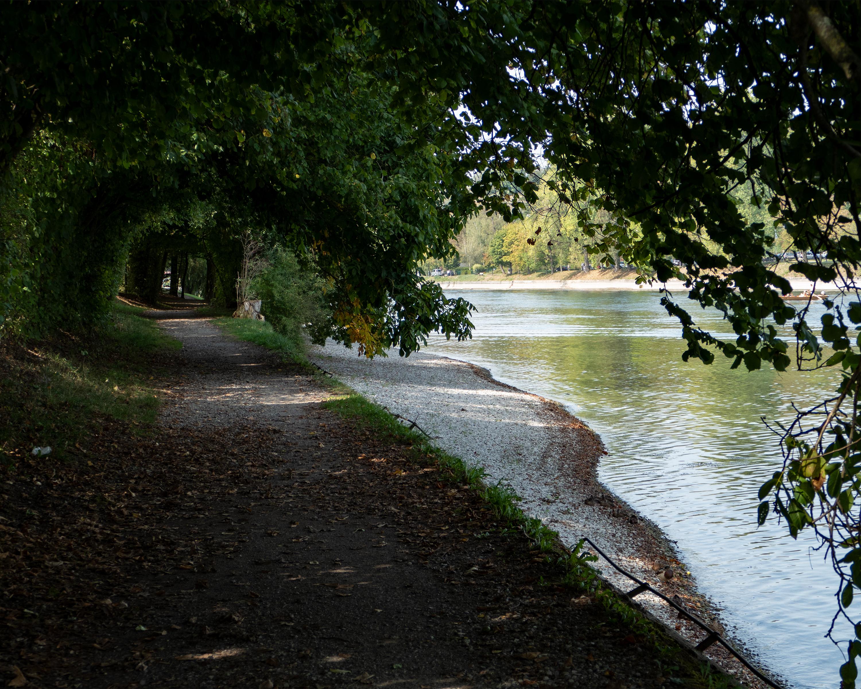
A level path along the banks of the Rhine with natural riverside areas, past the Wagenhausen Propstei church and St. Katharinental Monastery and Alt Paradies; through the Schaarenwald nature reserve with its historic fortifications and on to Schaffhausen.

Height profile

Weather:

Comments about this activity or place?

Thank you for your feedback!