search.ch

Freiburger Voralpenweg

Regional route No. 78, Fribourg–Plaffeien
  • Image 1

Description

Regional route
No. 78 (Fribourg–Plaffeien)
Length
20 km
Ascent • Descent
↑ 780 m • ↓ 560 m
Lowest point • Highest point
536 m • 1032 m
Hiking time
5 h 35 min
Grade
easy (hiking trail)
Fitness level
difficult
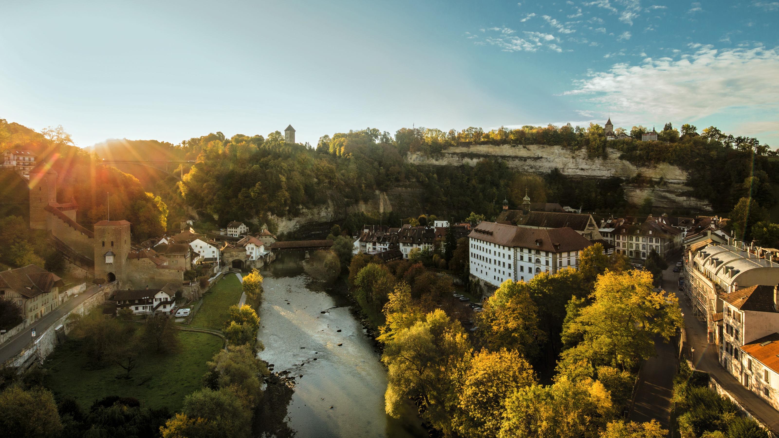
The hilly and varied route offers panoramic views of the Fribourg Pre-Alps, the Mittelland and the Jura. The medieval university town of Fribourg, small hamlets with impressive sacred buildings and farmhouses and finally, the Gantrisch Nature Park enrich the hike.

Height profile

Weather:

Comments about this activity or place?

Thank you for your feedback!