search.ch

Seeland-Solothurn-Weg

Regional route No. 76, Büren a. A.–Bätterkinden
  • Image 1

Description

Regional route
No. 76 (Büren a. A.–Bätterkinden)
Length
16 km
Ascent • Descent
↑ 340 m • ↓ 300 m
Lowest point • Highest point
443 m • 650 m
Hiking time
4 h
Grade
easy (hiking trail)
Fitness level
medium
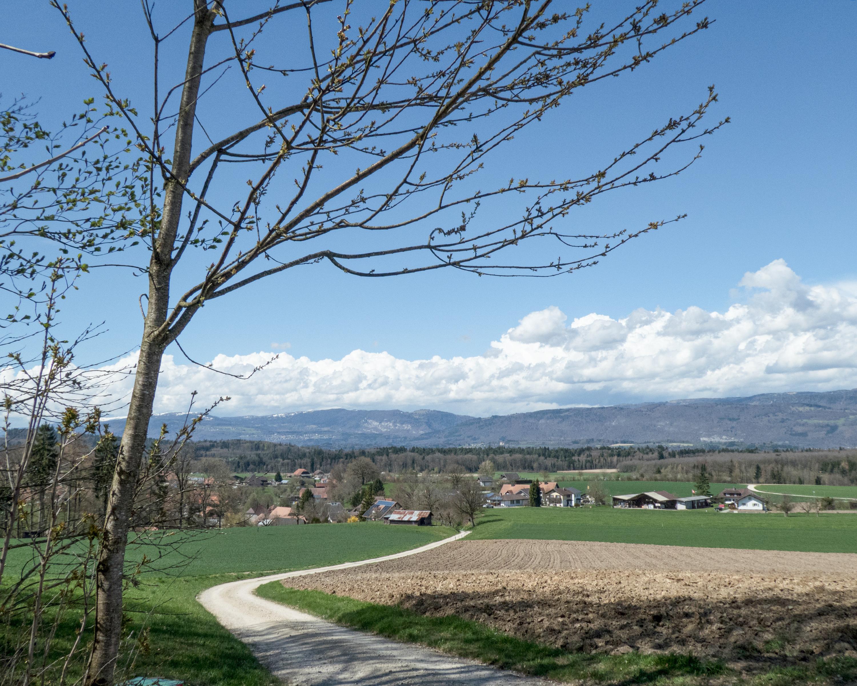
A gentle ascent into the idyllic, hilly countryside of the Bucheggberg to the historic Buchegg Castle. This stage leads through forests, over gentle hills and clearings and promises plenty of variety, with views over the Aare plain and the Mittelland.

Height profile

Weather:

Comments about this activity or place?

Thank you for your feedback!