DE
FR
IT
EN
Directory
Weather
Map / Route
Timetable
Leisure
TV guide
Cinema
Web search
Apps
More
Personal Data »
Login:
Register
Password forgotten
or
Log in with local.ch
Log in with Apple
Log in with Facebook
Log in with Google
Log in with LinkedIn
Please note that our new
privacy statement
as well as the revised
terms and conditions of use
apply.
Leisure
Hike in Region Schwyz
Weg der Schweiz
Regional route No. 99, Sisikon–Brunnen
Description
Regional route
No. 99 (Sisikon–Brunnen)
Length
8 km
Ascent • Descent
↑ 480 m • ↓ 480 m
Lowest point • Highest point
435 m • 825 m
Hiking time
2 h 40 min
Grade
easy (hiking trail)
Fitness level
medium
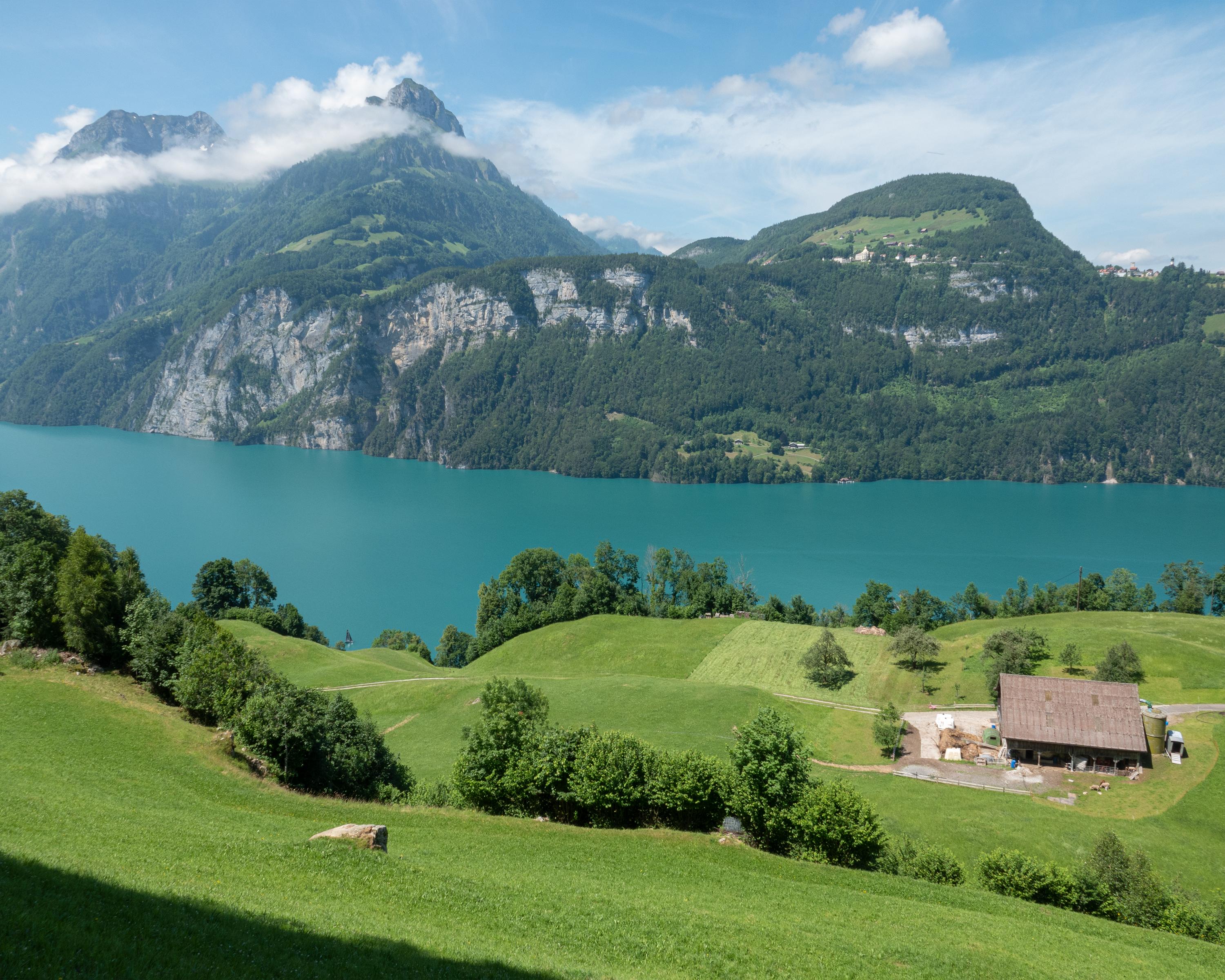
Overlooking the luminous blue Lake Lucerne and the wooded hills that surround it, the path goes up and down well-paved trails through attractive forests. The Chapel Trail near Morschach is a reminder of the rich history of the region.
Comments on this information?
We welcome your feedback!
Presented by
Route
Height profile
Weather:
More...
Comments about this activity or place?
Incorrect information
Missing information
Another topic
Thank you for your feedback!
Close