search.ch

Alpine Passes Trail

National route No. 6, La Fouly–Champex-Lac
  • Image 1

Description

National route
No. 6 (La Fouly–Champex-Lac)
Length
15 km
Ascent • Descent
↑ 620 m • ↓ 740 m
Lowest point • Highest point
1050 m • 1602 m
Hiking time
4 h 30 min
Grade
easy (hiking trail)
Fitness level
medium
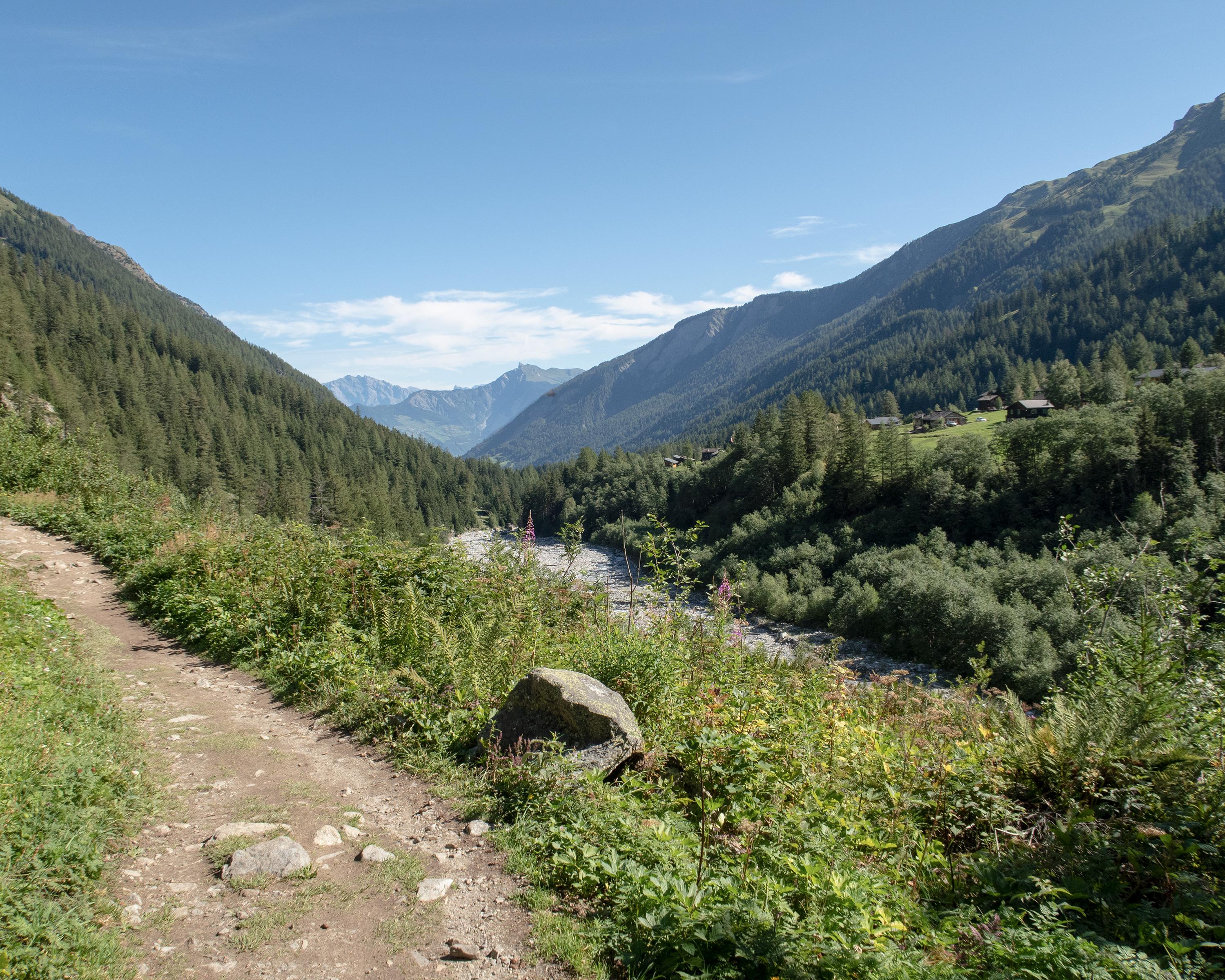
The gentle hike through the Val Ferret valley leads across meadows, through forests, into small chalet villages and along the river. On the final ascent, magnificent views of the stretch you just covered in the dead-straight valley open up. The lake of picturesque Champex reflects the wild, forested mountain landscape.

Height profile

Weather:

Comments about this activity or place?

Thank you for your feedback!