DE
FR
IT
EN
Directory
Weather
Map / Route
Timetable
Leisure
TV guide
Cinema
Web search
Apps
More
Personal Data »
Login:
Register
Password forgotten
or
Log in with local.ch
Log in with Apple
Log in with Facebook
Log in with Google
Log in with LinkedIn
Please note that our new
privacy statement
as well as the revised
terms and conditions of use
apply.
Leisure
Hike in Family resort Davos Klosters
Mittelbünden-Panoramaweg
Regional route No. 54, Arosa–Davos
Description
Regional route
No. 54 (Arosa–Davos)
Length
20 km
Ascent • Descent
↑ 1050 m • ↓ 1200 m
Lowest point • Highest point
1540 m • 2409 m
Hiking time
6 h 25 min
Grade
medium (mountain hiking trail)
Fitness level
difficult
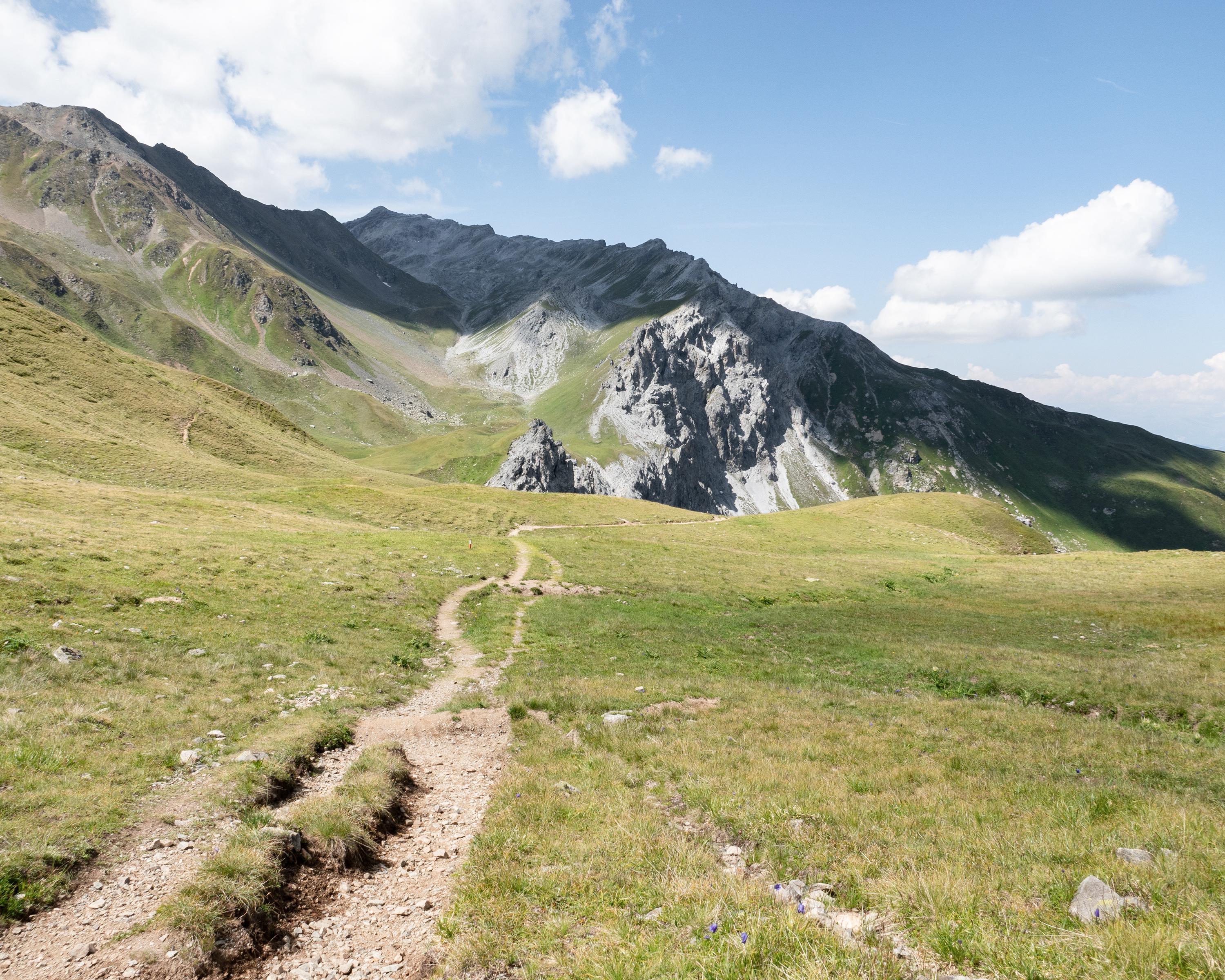
The first stop is Alp Medergen, a former Walser alp with mountain tavern. The path then narrows to a mountain trail with the «Tritt» as a key point. At the end of the stage, there is a view deep down to Davos.
Comments on this information?
We welcome your feedback!
Presented by
Route
Height profile
Weather:
More...
Comments about this activity or place?
Incorrect information
Missing information
Another topic
Thank you for your feedback!
Close