DE
FR
IT
EN
Directory
Weather
Map / Route
Timetable
Leisure
TV guide
Cinema
Web search
Apps
More
Personal Data »
Login:
Register
Password forgotten
or
Log in with local.ch
Log in with Apple
Log in with Facebook
Log in with Google
Log in with LinkedIn
Please note that our new
privacy statement
as well as the revised
terms and conditions of use
apply.
Leisure
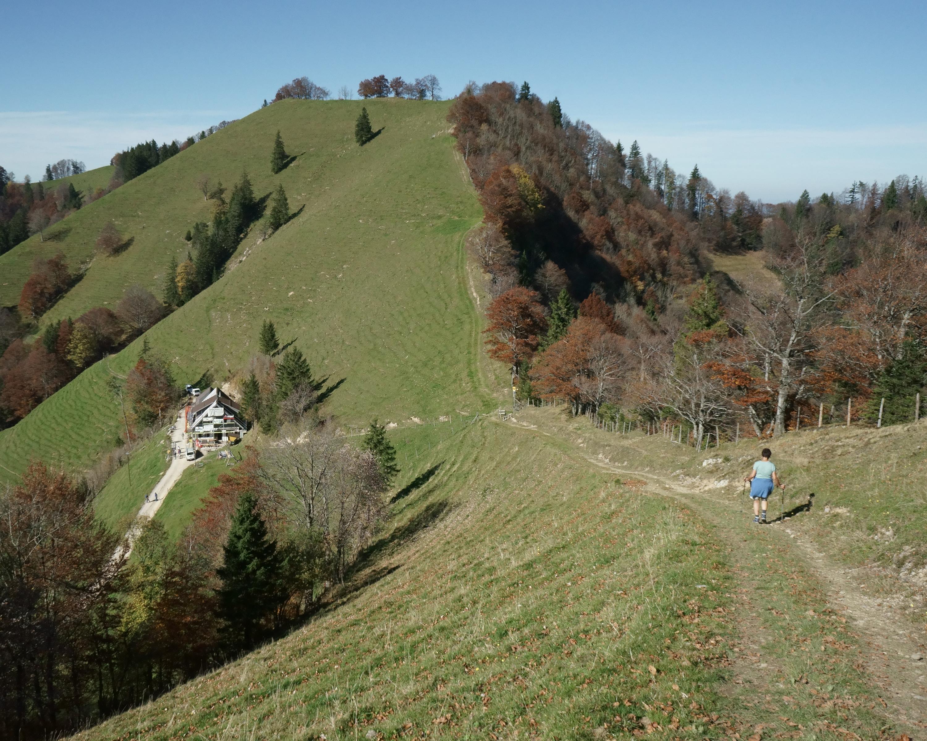
Hike in Toggenburg
Toggenburger Höhenweg
Regional route No. 48, Chrüzegg–Hulftegg
Description
Regional route
No. 48 (Chrüzegg–Hulftegg)
Length
11 km
Ascent • Descent
↑ 440 m • ↓ 760 m
Lowest point • Highest point
947 m • 1310 m
Hiking time
3 h 35 min
Grade
easy (hiking trail)
Fitness level
medium
Chrüzegg offers spectacular views of the Zürichsee lake, the Glarus Aps and Alpstein as far as the Bodensee (Lake Constance). The Schnebelhorn, the highest mountain in Canton Zürich (1292m), has to be scaled before the stage ends at Hulftegg.
Comments on this information?
We welcome your feedback!
Presented by
Route
Height profile
Weather:
More...
Comments about this activity or place?
Incorrect information
Missing information
Another topic
Thank you for your feedback!
Close