search.ch

ViaSpluga

Regional route No. 50, Andeer–Splügen
  • Image 1

Description

Regional route
No. 50 (Andeer–Splügen)
Length
14 km
Ascent • Descent
↑ 950 m • ↓ 460 m
Lowest point • Highest point
982 m • 1523 m
Hiking time
4 h 50 min
Grade
medium (mountain hiking trail)
Fitness level
difficult
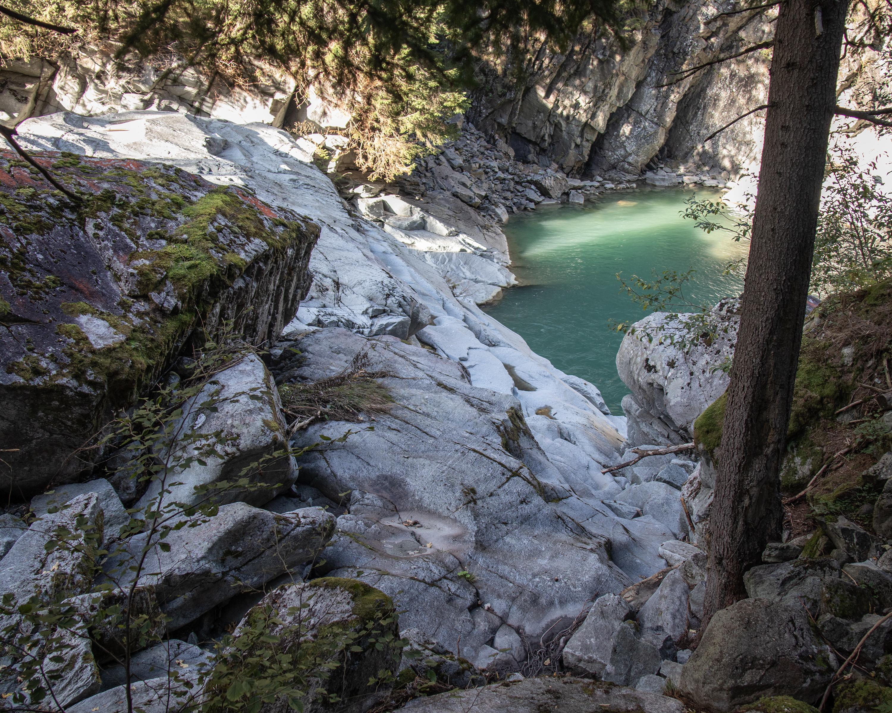
Ingeniously laid path through the difficult Roflaschlucht (gorge) and the sparsely populated Rheinwald valley floor. Andeer and Splügen offer interesting townscapes. The Rheinwalder Valley Museum Crestawald Fortress Museum and Roflaschlucht cliff path are worth a visit.

Height profile

Weather:

Comments about this activity or place?

Thank you for your feedback!