DE
FR
IT
EN
Directory
Weather
Map / Route
Timetable
Leisure
TV guide
Cinema
Web search
Apps
More
Personal Data »
Login:
Register
Password forgotten
or
Log in with local.ch
Log in with Apple
Log in with Facebook
Log in with Google
Log in with LinkedIn
Please note that our new
privacy statement
as well as the revised
terms and conditions of use
apply.
Leisure
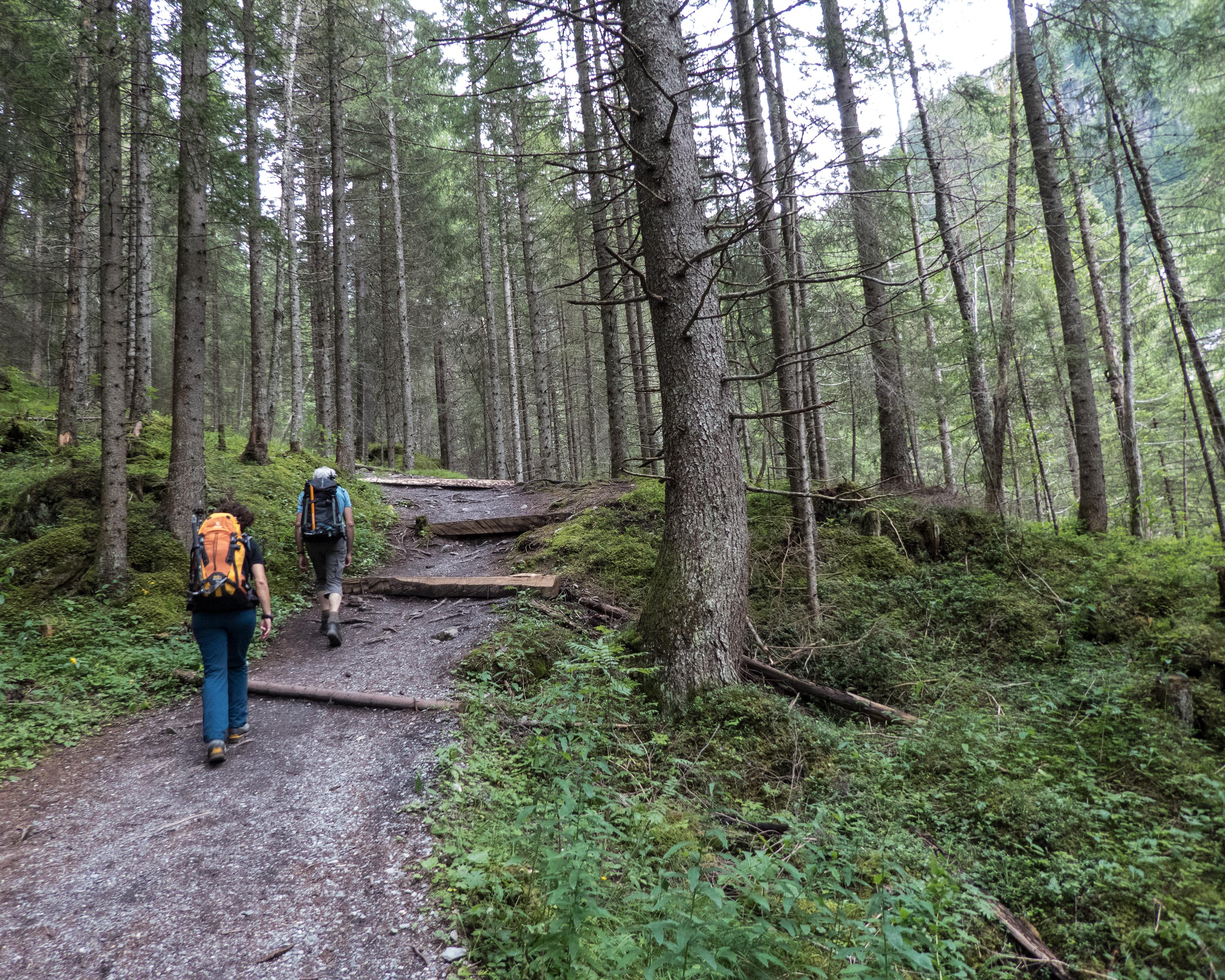
Hike in Kandertal / Kiental
Lötschberg-Panoramaweg
Regional route No. 56, Kandersteg–Selden
Description
Regional route
No. 56 (Kandersteg–Selden)
Length
11 km
Ascent • Descent
↑ 460 m • ↓ 90 m
Lowest point • Highest point
1171 m • 1550 m
Hiking time
3 h 10 min
Grade
medium (mountain hiking trail)
Fitness level
medium
Impressive hike through the Gasteretal, one of the most magnificent high-Alpine valleys. Surrounded by steep cliffs, the waters of the young Kander flow sometimes gently, sometimes untamed and thundering. Wealth of Alpine flora in spring.
Comments on this information?
We welcome your feedback!
Presented by
Route
Height profile
Weather:
More...
Comments about this activity or place?
Incorrect information
Missing information
Another topic
Thank you for your feedback!
Close