search.ch

Via Engiadina

Regional route No. 87, Zernez–Lavin
  • Image 1

Description

Regional route
No. 87 (Zernez–Lavin)
Length
12 km
Ascent • Descent
↑ 440 m • ↓ 480 m
Lowest point • Highest point
1385 m • 1652 m
Hiking time
3 h 25 min
Grade
easy (hiking trail)
Fitness level
medium
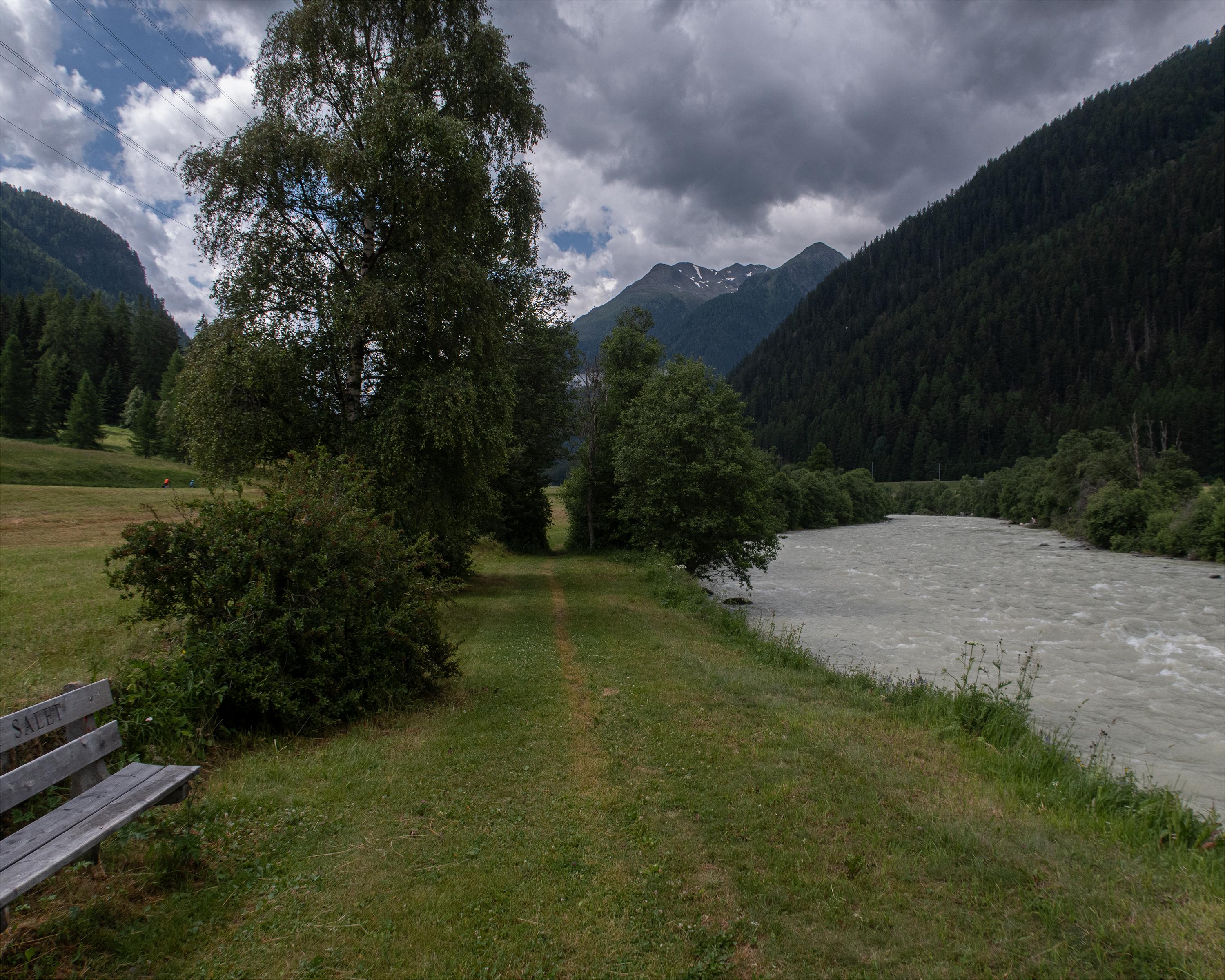
The leisurely hike proceeds alongside the ice-blue Inn River in the narrow valley bottom. The river winds through the Lower Engadine between huge mountain ranges. On tapered paths, past rock faces and through old coniferous forests, you will come across the ruins of Rohan Castle and the former execution site of Fuorcha.

Height profile

Weather:

Comments about this activity or place?

Thank you for your feedback!