search.ch

Aargauer Weg

Regional route No. 42, Brugg–Mellingen
  • Image 1

Description

Regional route
No. 42 (Brugg–Mellingen)
Length
23 km
Ascent • Descent
↑ 560 m • ↓ 560 m
Lowest point • Highest point
330 m • 568 m
Hiking time
6 h
Grade
easy (hiking trail)
Fitness level
difficult
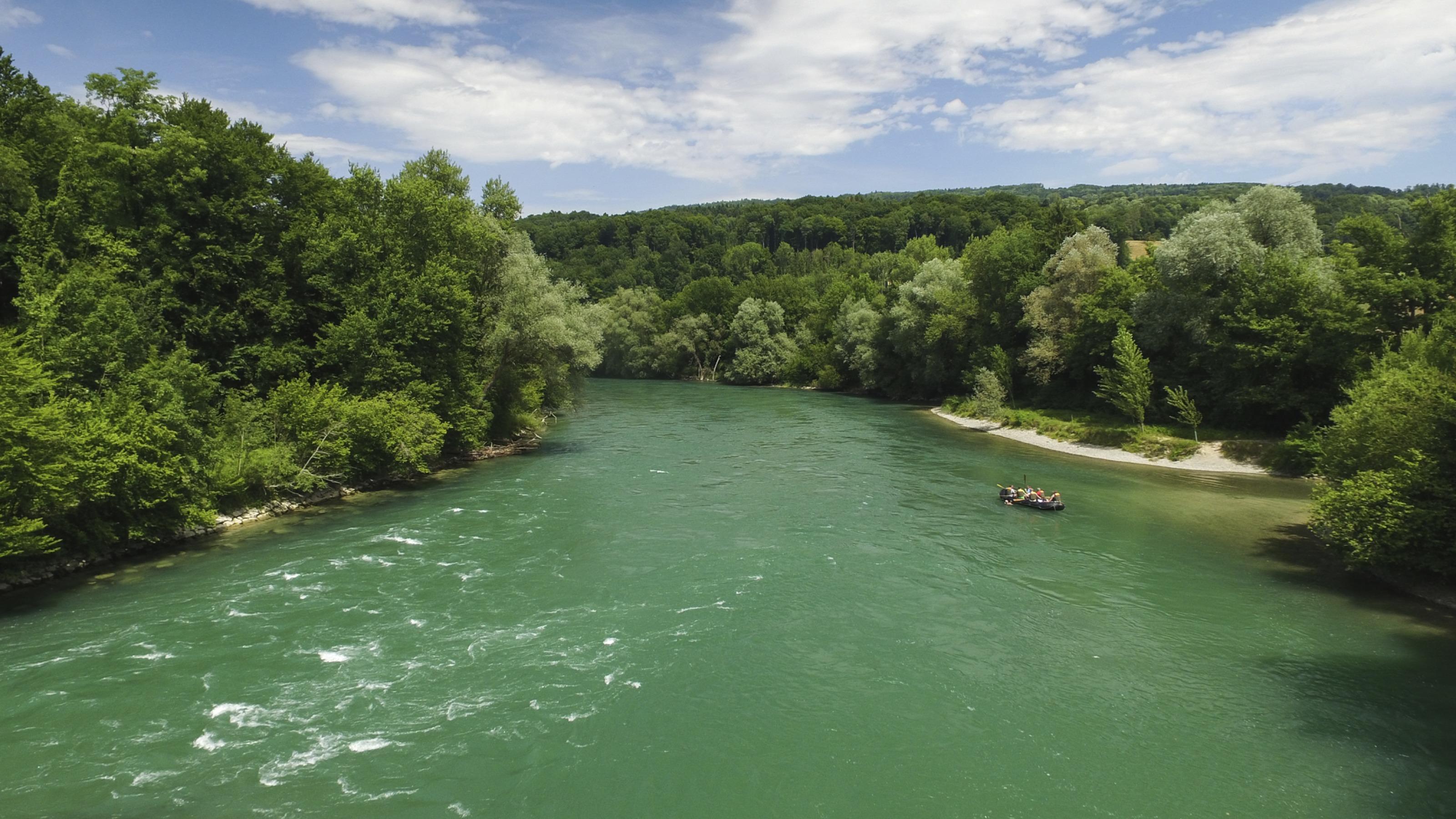
From Brugg, climb up to the Gebenstorfer Horn, the perfect viewing platform for the Switzerland's «Wasserschloss». Along the Jura ridgeway to Baldegg with views of the Alps, then down to the former Habsburg Stein Castle and down to the beautiful Baden old town.

Height profile

Weather:

Comments about this activity or place?

Thank you for your feedback!