DE
FR
IT
EN
Directory
Weather
Map / Route
Timetable
Leisure
TV guide
Cinema
Web search
Apps
More
Personal Data »
Login:
Register
Password forgotten
or
Log in with local.ch
Log in with Apple
Log in with Facebook
Log in with Google
Log in with LinkedIn
Please note that our new
privacy statement
as well as the revised
terms and conditions of use
apply.
Leisure
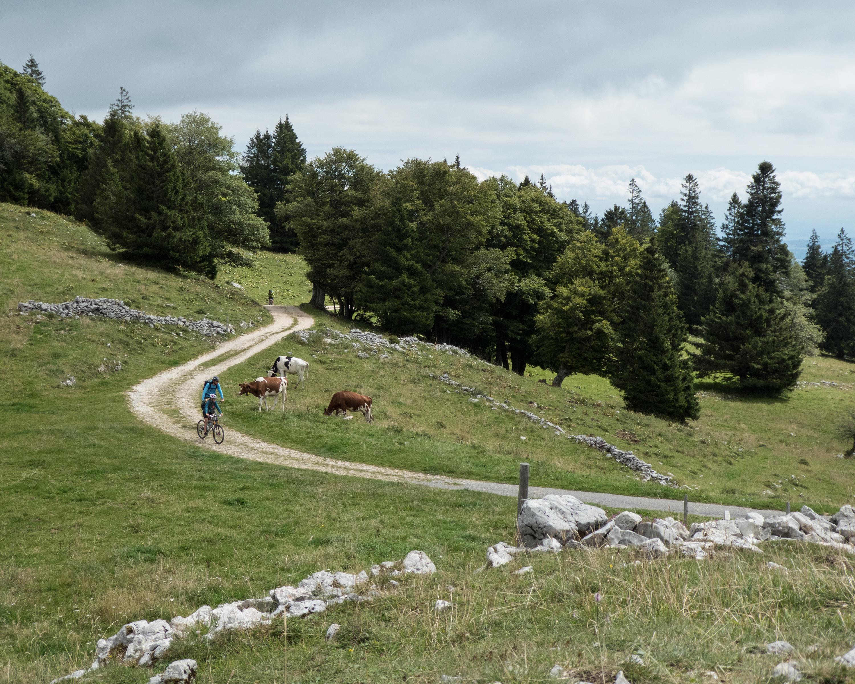
Mountain bike in Canton of Vaud
Jura Bike
National route No. 3, Ste-Croix–Le Sentier
Description
National route
No. 3 (Ste-Croix–Le Sentier)
Length
46 km
Ascent • Descent
↑ 1200 m • ↓ 1250 m
Lowest point • Highest point
747 m • 1393 m
Grade
medium
Fitness level
medium
Below the rocky Auguilles de Baumles, the route crosses a lonely region with many bunkers from World War II. The last ascent leads into the Vallée de Joux, a true gem with a wealth of flora and two lakes!
Comments on this information?
We welcome your feedback!
Presented by
Route
Height profile
Weather:
More...
Comments about this activity or place?
Incorrect information
Missing information
Another topic
Thank you for your feedback!
Close