search.ch

ViaBerna

Regional route No. 38, Aeschi bei Spiez–Saxeten
  • Image 1

Description

Regional route
No. 38 (Aeschi bei Spiez–Saxeten)
Length
17 km
Ascent • Descent
↑ 1200 m • ↓ 950 m
Lowest point • Highest point
848 m • 1880 m
Hiking time
6 h 10 min
Grade
medium (mountain hiking trail)
Fitness level
difficult
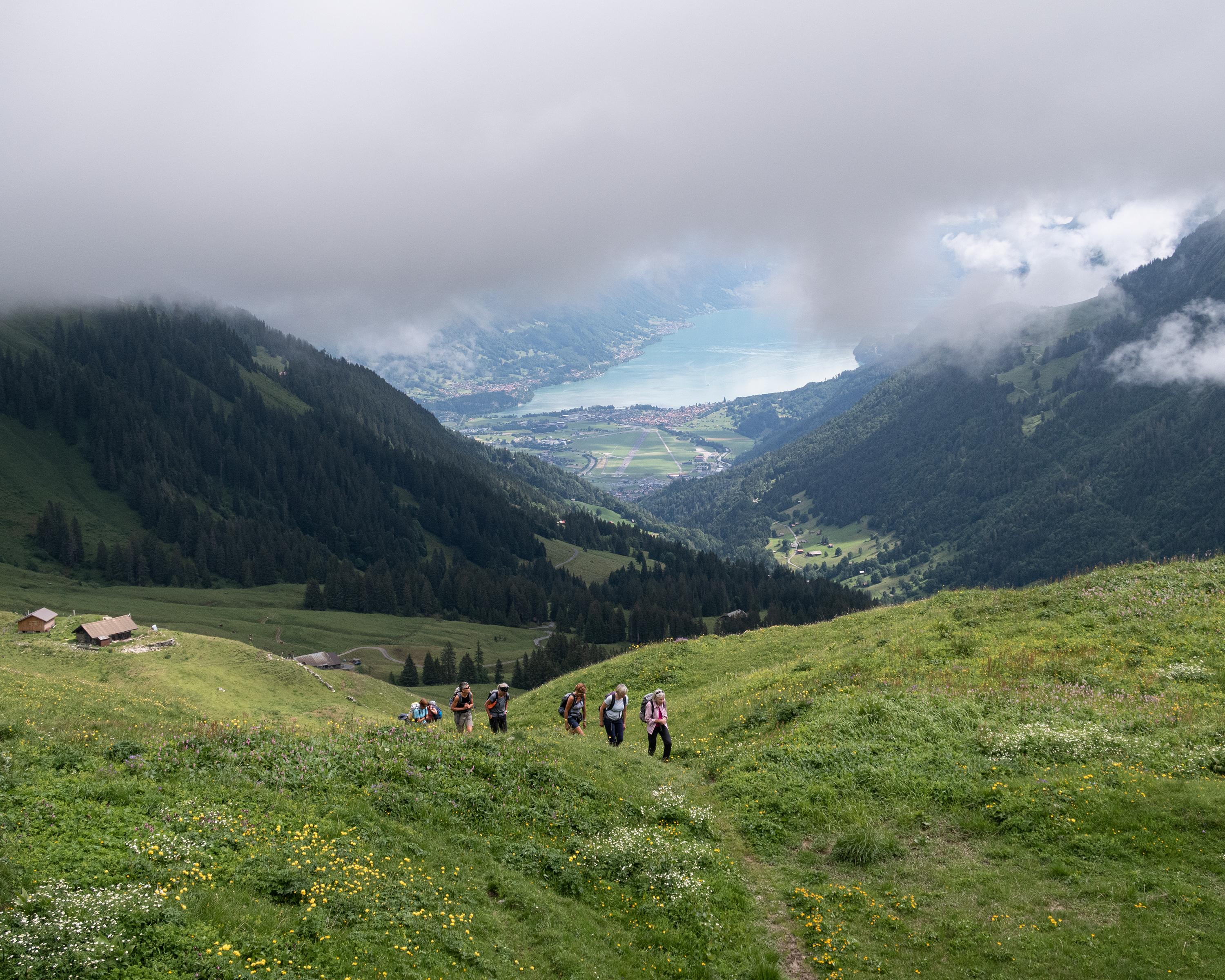
Across meadows and pastures, it is a leisurely climb to the entrance of the Suld Valley. Then the mountain path, which becomes increasingly narrower, goes up along roaring streams and waterfalls to the Renggli Pass. Over the intensively exploited alps, you descend to the remote mountain village of Saxeten.

Height profile

Weather:

Comments about this activity or place?

Thank you for your feedback!