search.ch

Thurgauer Panoramaweg

Regional route No. 79, Amriswil–Bischofszell
  • Image 1

Description

Regional route
No. 79 (Amriswil–Bischofszell)
Length
16 km
Ascent • Descent
↑ 440 m • ↓ 360 m
Lowest point • Highest point
437 m • 614 m
Hiking time
4 h 20 min
Grade
easy (hiking trail)
Fitness level
medium
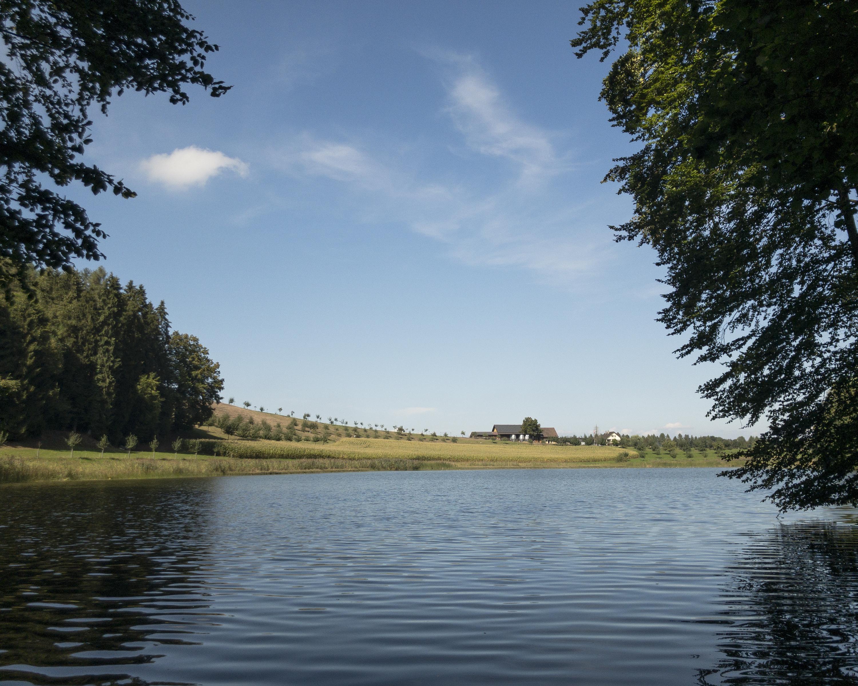
Worth seeing: Hagenwil moated castle with knight’s hall, granary, courtyard tavern, Biedermeier parlour and own wine. After crossing the River Sitter with the last ferry left in Canton Thurgau, the route leads along a root-covered path through a marshland nature reserve.

Height profile

Weather:

Comments about this activity or place?

Thank you for your feedback!