search.ch

Alpine Passes Trail

National route No. 6, Cab. des Dix–Cab. de Prafleuri
  • Image 1

Description

National route
No. 6 (Cab. des Dix–Cab. de Prafleuri)
Length
12 km
Ascent • Descent
↑ 600 m • ↓ 860 m
Lowest point • Highest point
2370 m • 2956 m
Hiking time
4 h 10 min
Grade
medium (mountain hiking trail)
Fitness level
medium
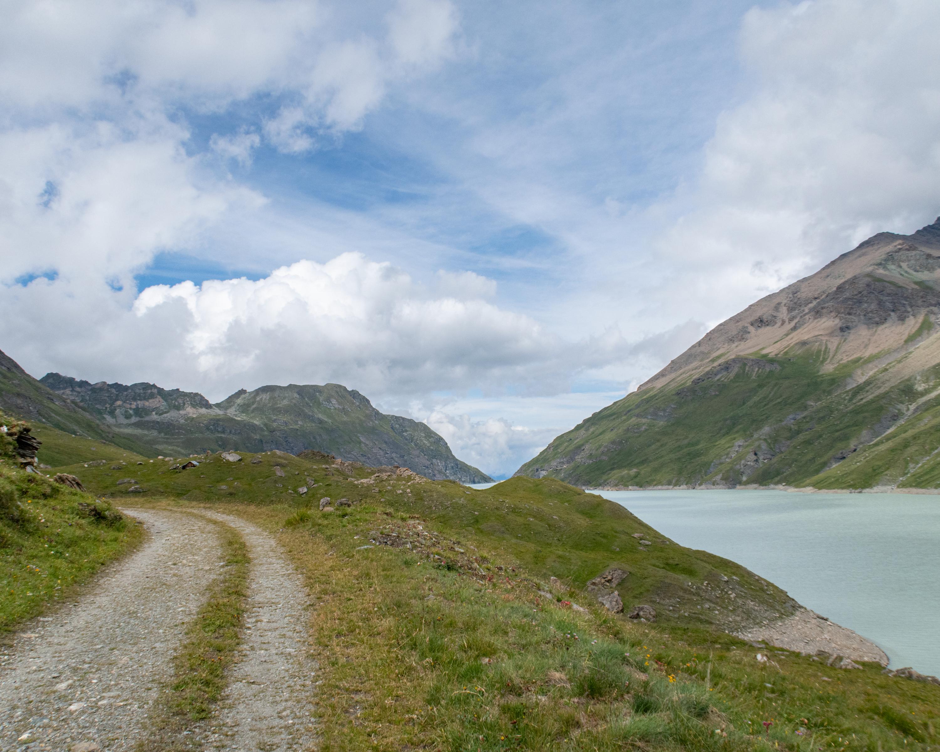
The stage begins with a steep descent to the Lac des Dix reservoir and the highest gravity dam in the world. The path continues along the lake, then up to the Col des Roux. From there it is only a short distance to where this stage finishes, at the Cabane de Prafleuri SAC hut.

Height profile

Weather:

Comments about this activity or place?

Thank you for your feedback!