search.ch

Lötschberg-Panoramaweg

Regional route No. 56, Lauchernalp–Fafleralp
  • Image 1

Description

Regional route
No. 56 (Lauchernalp–Fafleralp)
Length
9 km
Ascent • Descent
↑ 220 m • ↓ 560 m
Lowest point • Highest point
1765 m • 2115 m
Hiking time
2 h 35 min
Grade
medium (mountain hiking trail)
Fitness level
medium
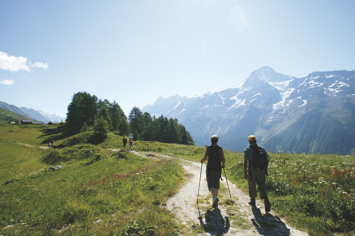
High-level path on sunny Lötschental slopes, through fragrant flower meadows and forest. Stunning views into the valley, impressive peaks and glacier panorama. Bathe in the Schwarzsee and read about Lötschental legends on panels (German). A classic hike.

Height profile

Weather:

Comments about this activity or place?

Thank you for your feedback!