DE
FR
IT
EN
Directory
Weather
Map / Route
Timetable
Leisure
TV guide
Cinema
Web search
Apps
More
Personal Data »
Login:
Register
Password forgotten
or
Log in with local.ch
Log in with Apple
Log in with Facebook
Log in with Google
Log in with LinkedIn
Please note that our new
privacy statement
as well as the revised
terms and conditions of use
apply.
Leisure
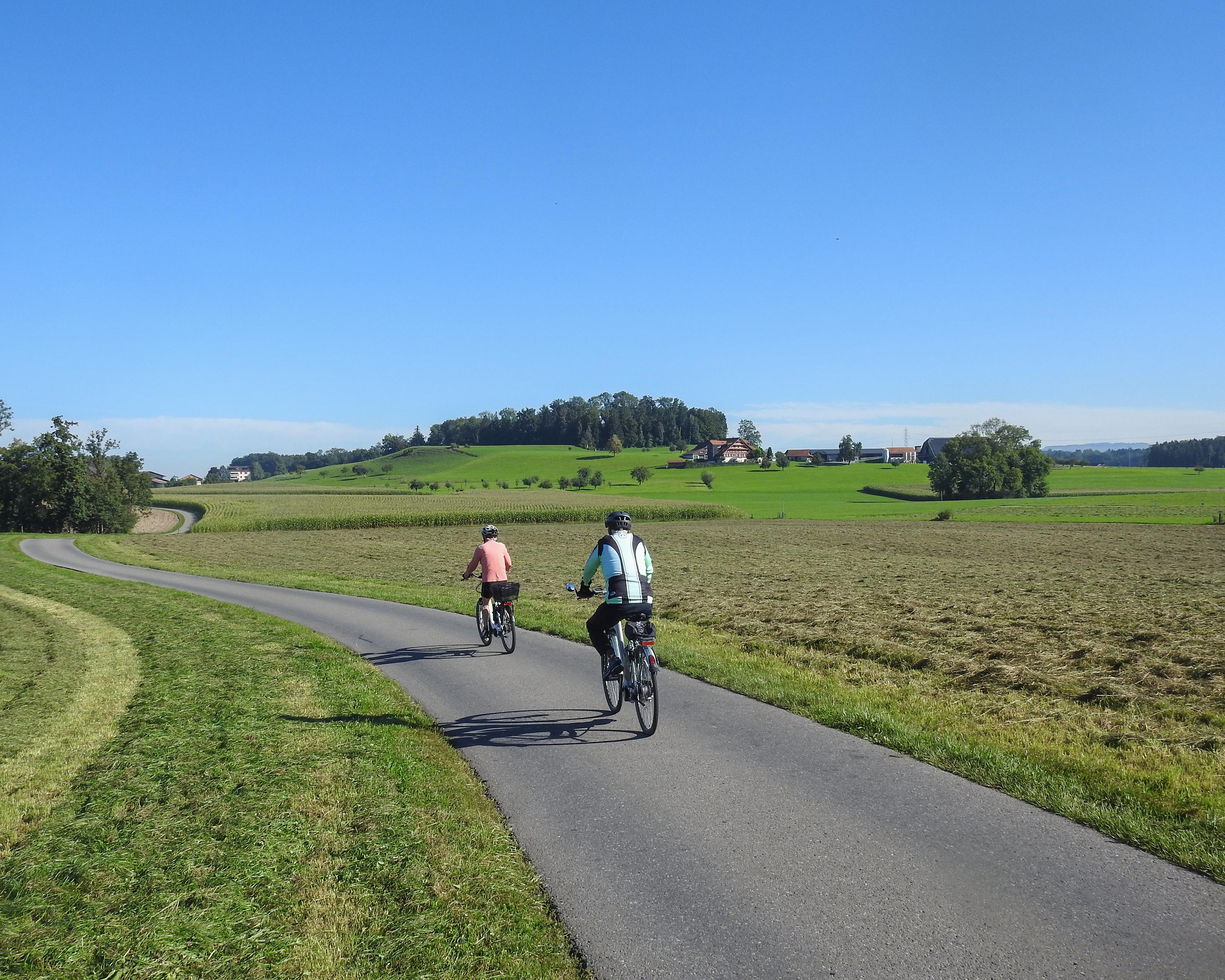
Biking in Freiamt
Rigi–Reuss–Klettgau
Regional route No. 77, Rotkreuz–Brugg
Description
Regional route
No. 77 (Rotkreuz–Brugg)
Length
51 km
Ascent • Descent
↑ 380 m • ↓ 460 m
Lowest point • Highest point
346 m • 450 m
Fitness level
medium
Freiamt: a wide valley basin, farming country. In the centre the Reuss meanders through a bird and plant paradise, carves into Ice Age moraine and demands bridges: the historic town of Bremgarten is followed by Mellingen, Mülligen and Brugg.
Comments on this information?
We welcome your feedback!
Presented by
Route
Height profile
Weather:
More...
Comments about this activity or place?
Incorrect information
Missing information
Another topic
Thank you for your feedback!
Close