search.ch

Trans-Altarezia Bike

Regional route No. 32, Sta. Maria–Arnoga (I)
  • Image 1

Description

Regional route
No. 32 (Sta. Maria–Arnoga (I))
Length
44 km
Ascent • Descent
↑ 1600 m • ↓ 1100 m
Lowest point • Highest point
1392 m • 2756 m
Grade
difficult
Fitness level
difficult
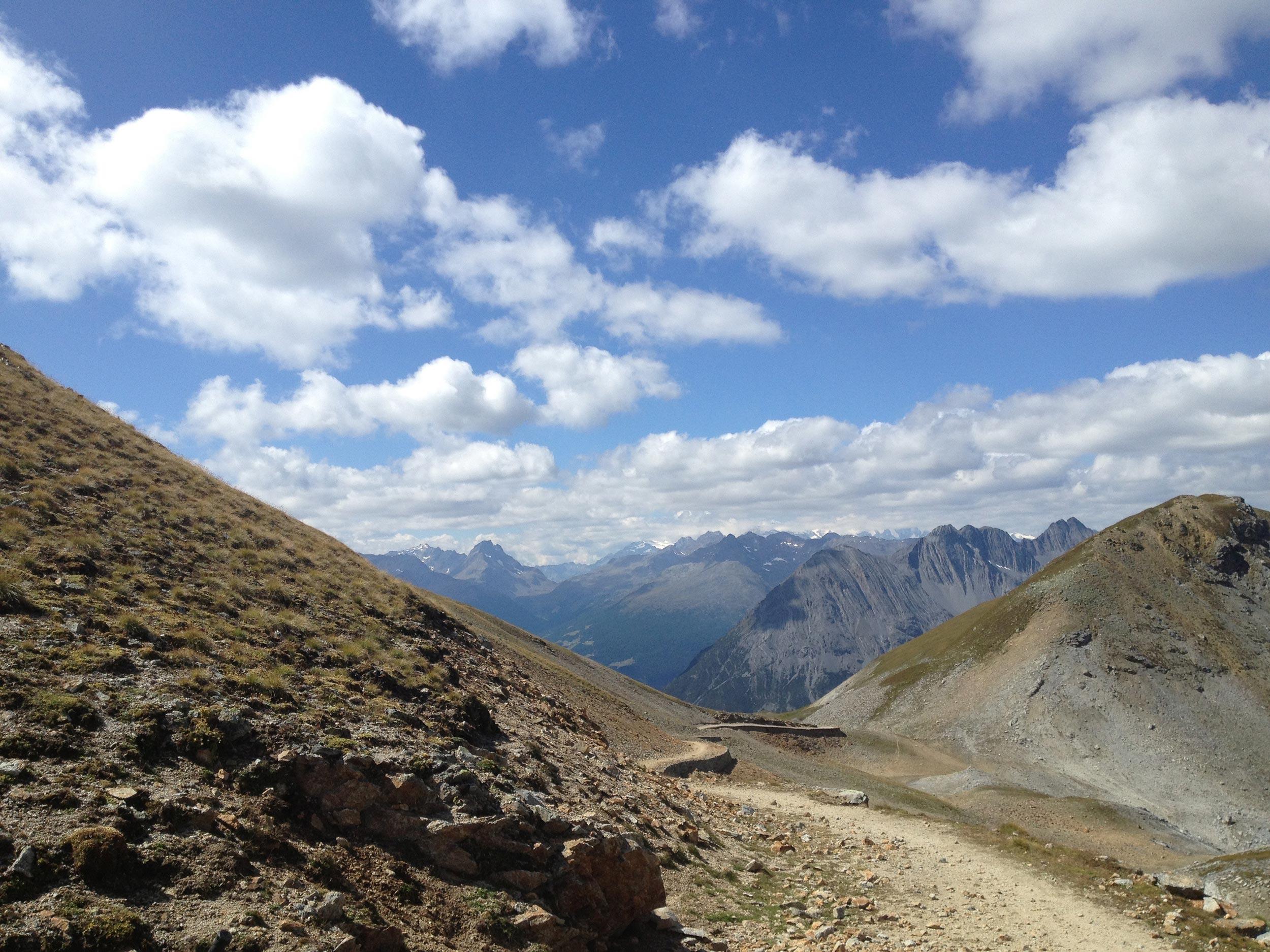
The centerpiece of the Trans-Altarezia Bike route begins with an ascent of 1,110 meters in altitude to the Umbrail Pass, start of a spectacular Alpine trail via Bocchetta di Forcola and Bocchetta di Pedenolo down to Lago di Cancano. High above Valdidentro, a flat gravel road with a panoramic view leads to Arnoga.

Height profile

Weather:

Comments about this activity or place?

Thank you for your feedback!