search.ch

Grenzpfad Napfbergland, Stage 2/6

Regional route No. 65, Stage 2: Huttwil – Napf
  • Image 1

Description

Regional route
No. 65 (Langenthal – Brünigpass)
Length
20 km
Ascent • Descent
↑ 1300 m • ↓ 520 m
Lowest point • Highest point
639 m • 1405 m
Hiking time
6 h 35 min
Grade
easy
Fitness level
difficult
Regional route No. 65: Grenzpfad Napfbergland
Stages
0. Langenthal – Huttwil
0. Huttwil – Napf
0. Napf – Trubschachen
0. Trubschachen – Marbach
0. Marbach – Brienzer Rothorn
0. Brienzer Rothorn – Brünigpass
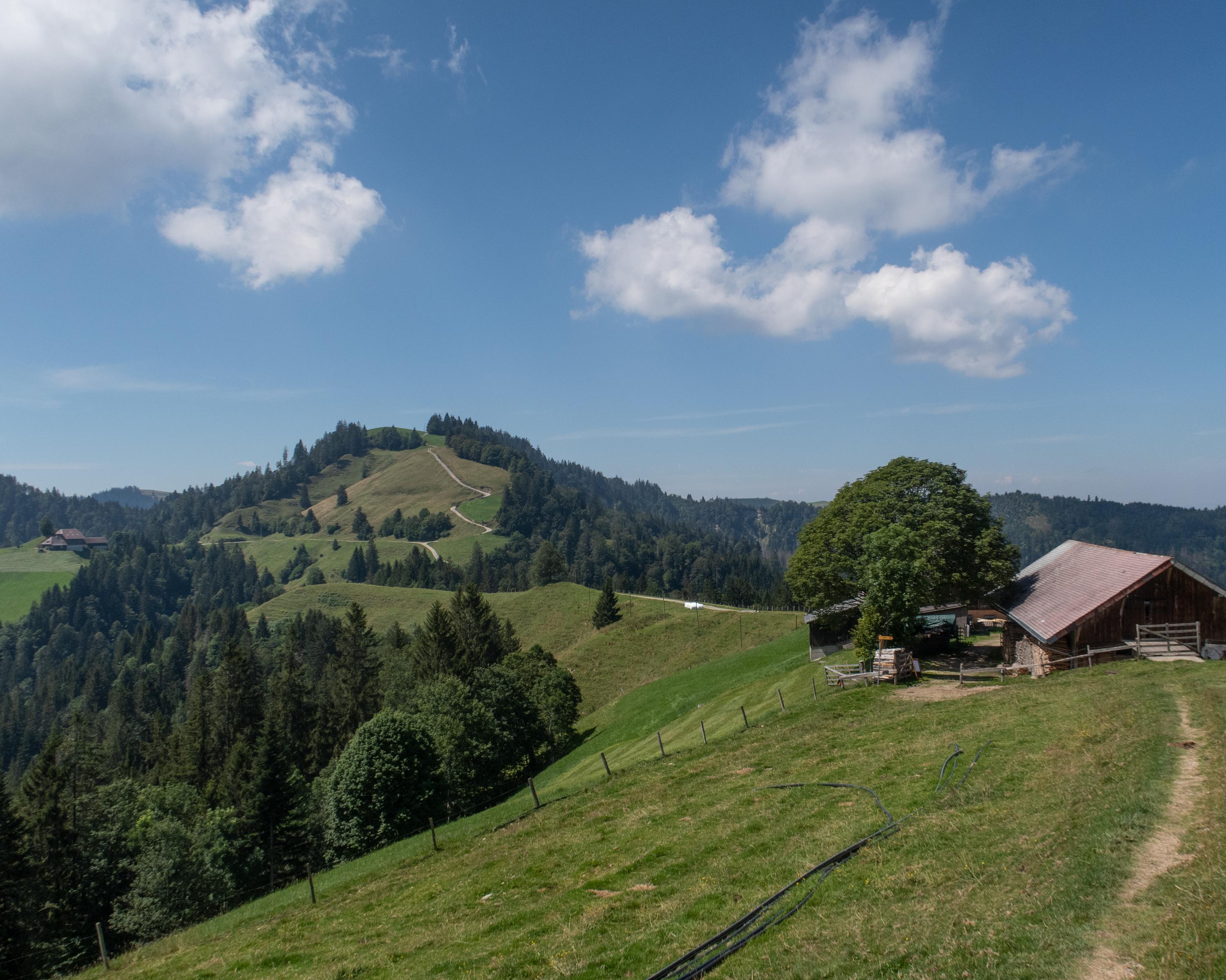
From Huttwil, the hike leads to the highest vantage point between the Emmental and Entlebuch. In the typical landscape of the Napf region, one hill follows another, often with a single tree on top. From the hillcrest, the views extend to the Jura chain, the Bernese and Central Swiss Alps.

Height profile

Weather:

Comments about this activity or place?

Thank you for your feedback!