DE
FR
IT
EN
Directory
Weather
Map / Route
Timetable
Leisure
TV guide
Cinema
Web search
Apps
More
Personal Data »
Login:
Register
Password forgotten
or
Log in with local.ch
Log in with Apple
Log in with Facebook
Log in with Google
Log in with LinkedIn
Please note that our new
privacy statement
as well as the revised
terms and conditions of use
apply.
Leisure
Hike in Region of Fribourg
ViaJacobi
National route No. 4, Payerne–Moudon (Curtilles)
Description
National route
No. 4 (Payerne–Moudon (Curtilles))
Length
17 km
Ascent • Descent
↑ 100 m • ↓ 30 m
Lowest point • Highest point
448 m • 516 m
Hiking time
4 h
Grade
easy (mountain hiking trail)
Fitness level
medium
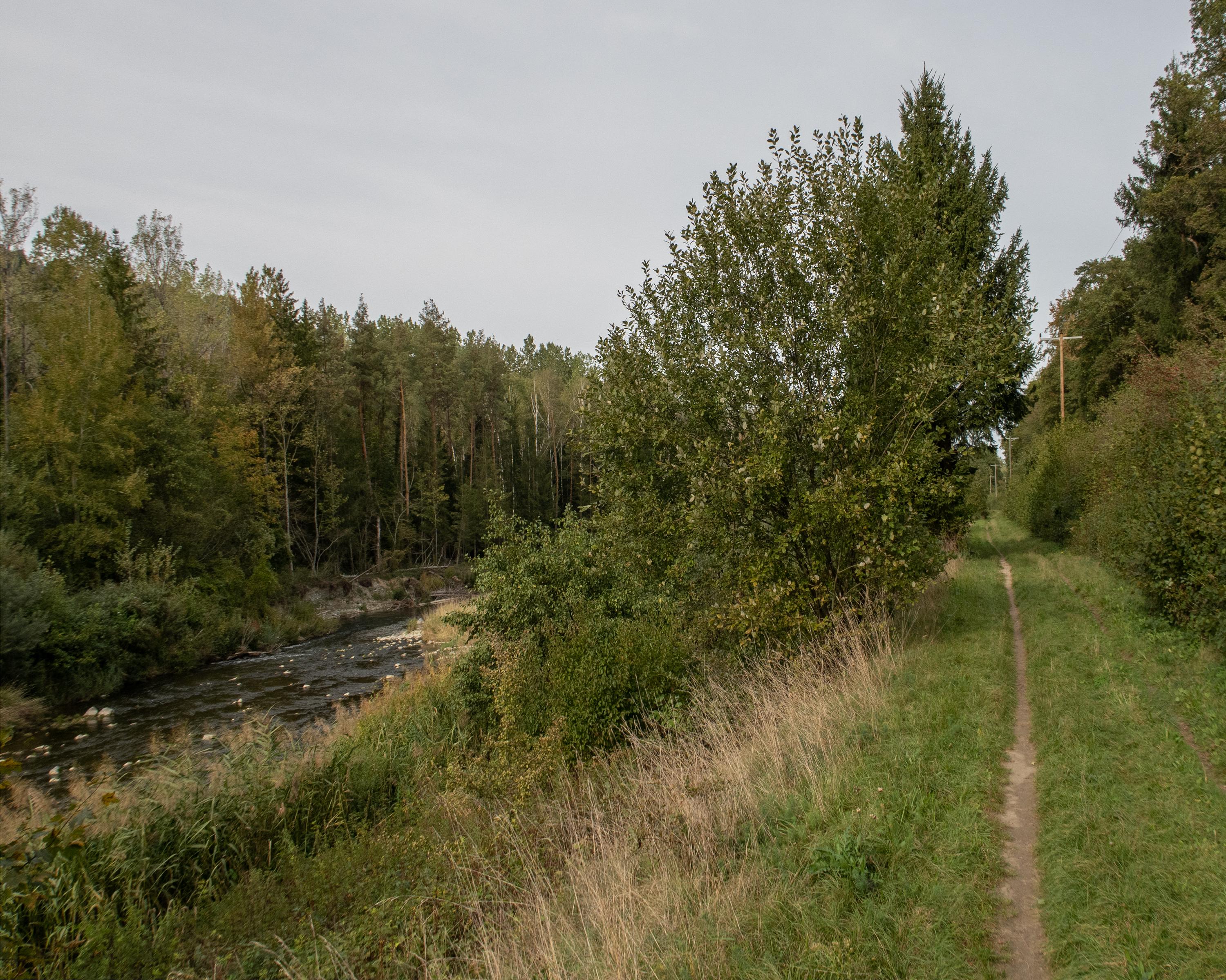
Anyone wanting a leisurely hike against the current is in the right place. The trail follows the Broye upstream and is virtually flat. The fortress in Lucens is impressive. With Moudon, it provided strategic control of the valley in the Middle Ages.
Comments on this information?
We welcome your feedback!
Presented by
Route
Height profile
Weather:
More...
Comments about this activity or place?
Incorrect information
Missing information
Another topic
Thank you for your feedback!
Close