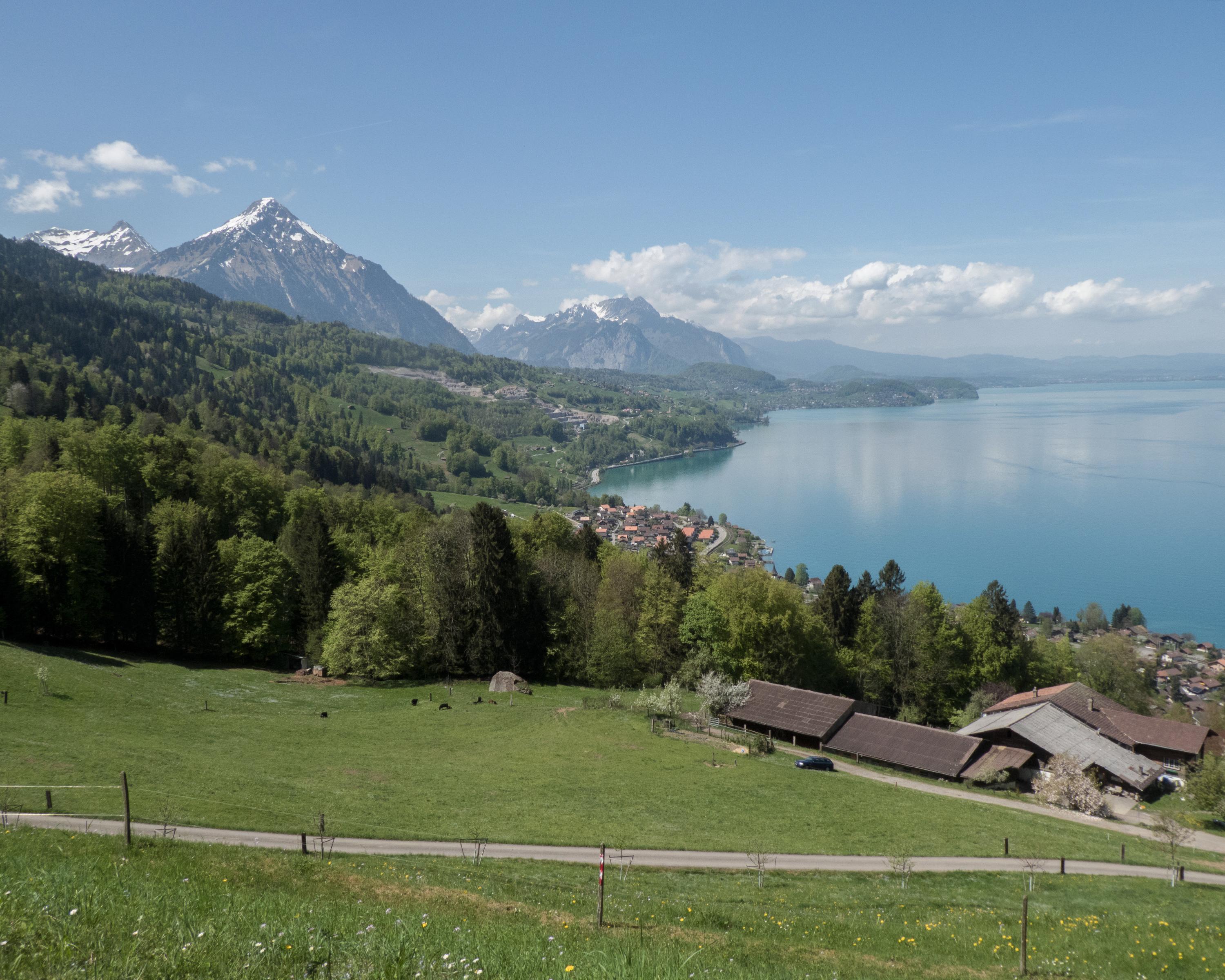
Starting in Interlaken, the hike hugs Lake Thun before continuing on via Därligen to the Meielisalp up above Leissigen. Enchanting panoramic views are provided by the suspension bridge over the Spissibach stream. Finally, the route continues past Faulensee via Krattigen. The end point for this stage is Spiez with its vineyards and castle – the latter, towering over the town, serves as its characteristic symbol.