DE
FR
IT
EN
Directory
Weather
Map / Route
Timetable
Leisure
TV guide
Cinema
Web search
Apps
More
Personal Data »
Login:
Register
Password forgotten
or
Log in with local.ch
Log in with Apple
Log in with Facebook
Log in with Google
Log in with LinkedIn
Please note that our new
privacy statement
as well as the revised
terms and conditions of use
apply.
Leisure
Hike in Thurgau
Thurgauer Panoramaweg
Regional route No. 79, Bischofszell–Wil SG
Description
Regional route
No. 79 (Bischofszell–Wil SG)
Length
21 km
Ascent • Descent
↑ 520 m • ↓ 460 m
Lowest point • Highest point
462 m • 734 m
Hiking time
5 h 20 min
Grade
easy (hiking trail)
Fitness level
difficult
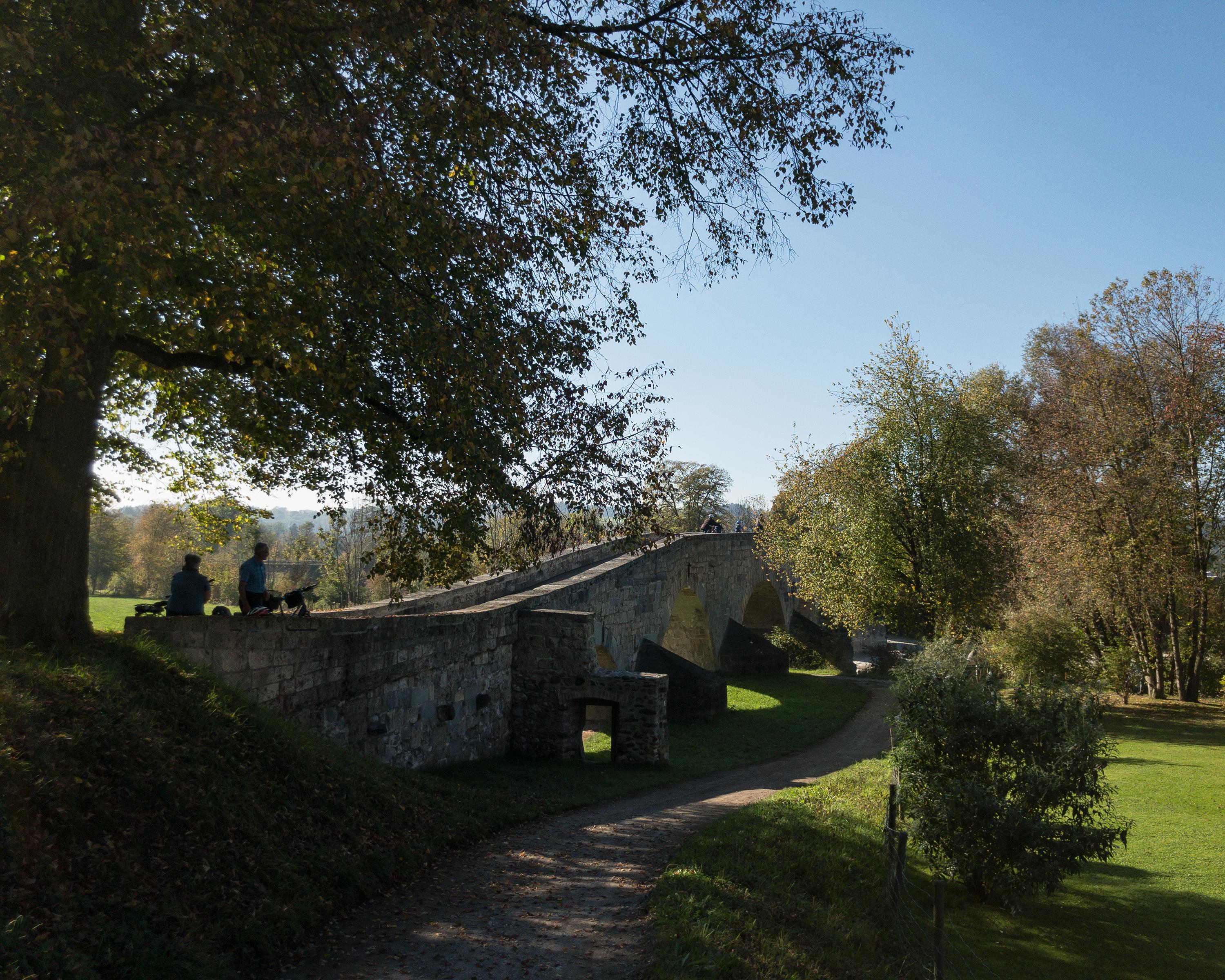
Curved arched bridge dating from 1487 near Bischofszell. Heiligkreuz Church with former fortified tower. The Nollen, the highest rise in Thurgau, with sweeping views from the Bodensee to the Alps. Finally the old town of Wil – well worth seeing.
Comments on this information?
We welcome your feedback!
Presented by
Route
Height profile
Weather:
More...
Comments about this activity or place?
Incorrect information
Missing information
Another topic
Thank you for your feedback!
Close