search.ch

Parcours Plan Beu

Local route No. 425, Stage 5: Liddes, Le Chapelet – Liddes, Le Chapelet
  • Image 1

Description

Local route
No. 425
Length
9 km
Ascent • Descent
↑ 580 m • ↓ 580 m
Lowest point • Highest point
1594 m • 2111 m
Hiking time
4 h 35 min
Fitness level
difficult
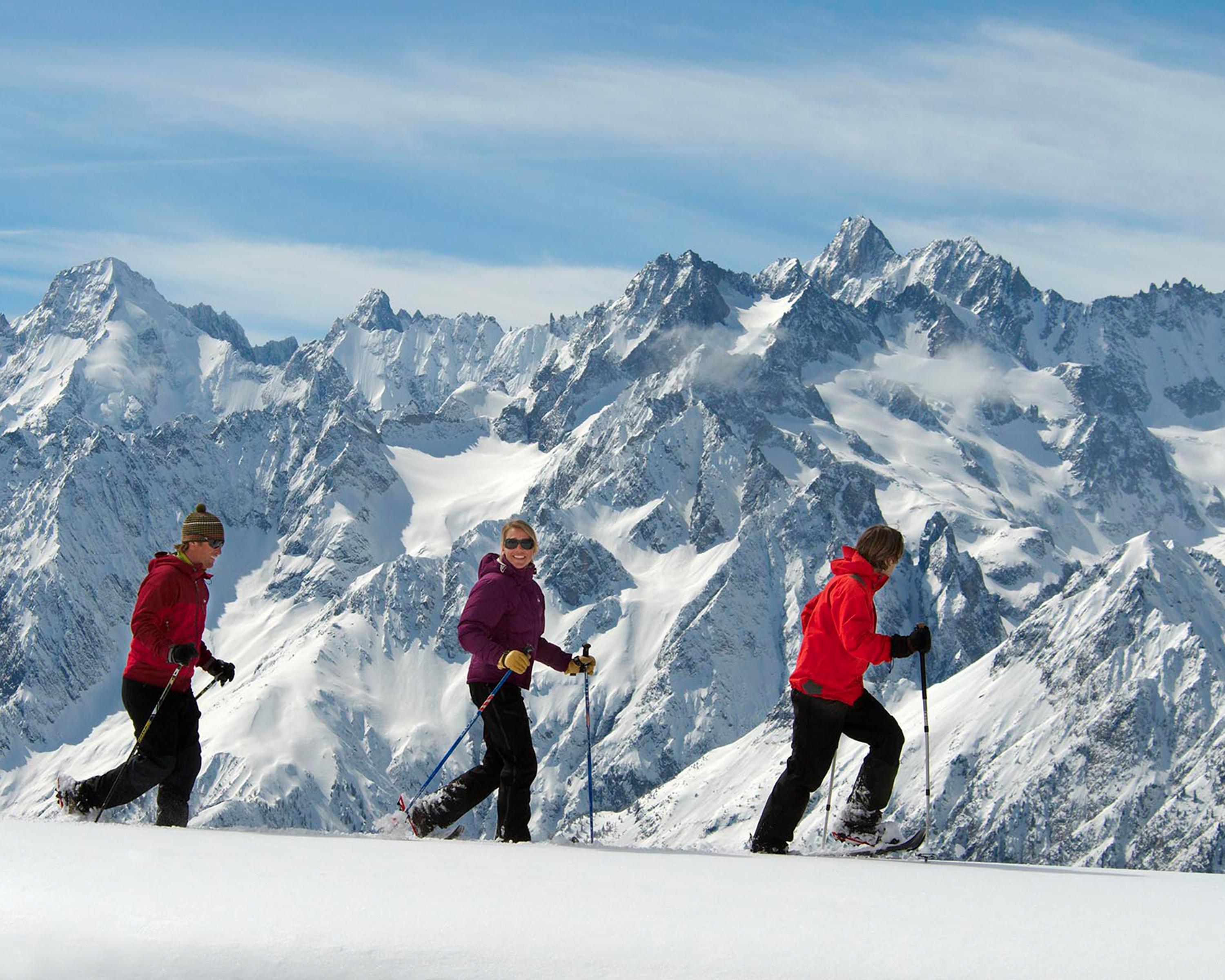
The circular hike in the heart of the Val d'Entremont leads up to the summit of the Tsamonay, affording impressive 360-degree views of the mighty Combin massif and Mont Dolent, located in the border triangle. The sleepy mountain valley surprises with charming villages, sunny slopes and amazing views of the highest peaks in the Alps.

Booking Information

Height profile

Weather:

Comments about this activity or place?

Thank you for your feedback!