DE
FR
IT
EN
Directory
Weather
Map / Route
Timetable
Leisure
TV guide
Cinema
Web search
Apps
More
Personal Data »
Login:
Register
Password forgotten
or
Log in with local.ch
Log in with Apple
Log in with Facebook
Log in with Google
Log in with LinkedIn
Please note that our new
privacy statement
as well as the revised
terms and conditions of use
apply.
Leisure
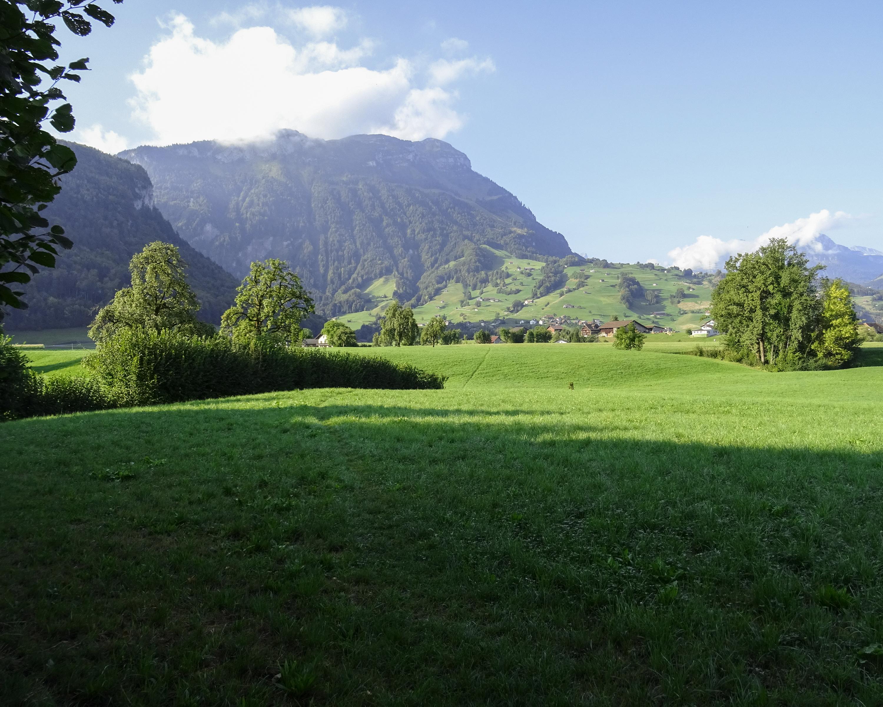
Hike in Muotathal
Pragelpass-Weg
Regional route No. 29, Schwyz–Muotathal
Description
Regional route
No. 29 (Schwyz–Muotathal)
Length
14 km
Ascent • Descent
↑ 320 m • ↓ 220 m
Lowest point • Highest point
453 m • 612 m
Hiking time
3 h 30 min
Grade
easy (hiking trail)
Fitness level
medium
Sweeping views to the water meadows of Schwyz narrow at the bridge where Suworow and his army were stopped in late autumn 1799. A tranquil stroll in a famous and history-laden valley.
Comments on this information?
We welcome your feedback!
Presented by
Route
Height profile
Weather:
More...
Comments about this activity or place?
Incorrect information
Missing information
Another topic
Thank you for your feedback!
Close