DE
FR
IT
EN
Directory
Weather
Map / Route
Timetable
Leisure
TV guide
Cinema
Snow
Web search
Apps
More
Personal Data »
Login:
Register
Password forgotten
or
Log in with local.ch
Log in with Apple
Log in with Facebook
Log in with Google
Log in with LinkedIn
Please note that our new
privacy statement
as well as the revised
terms and conditions of use
apply.
Leisure
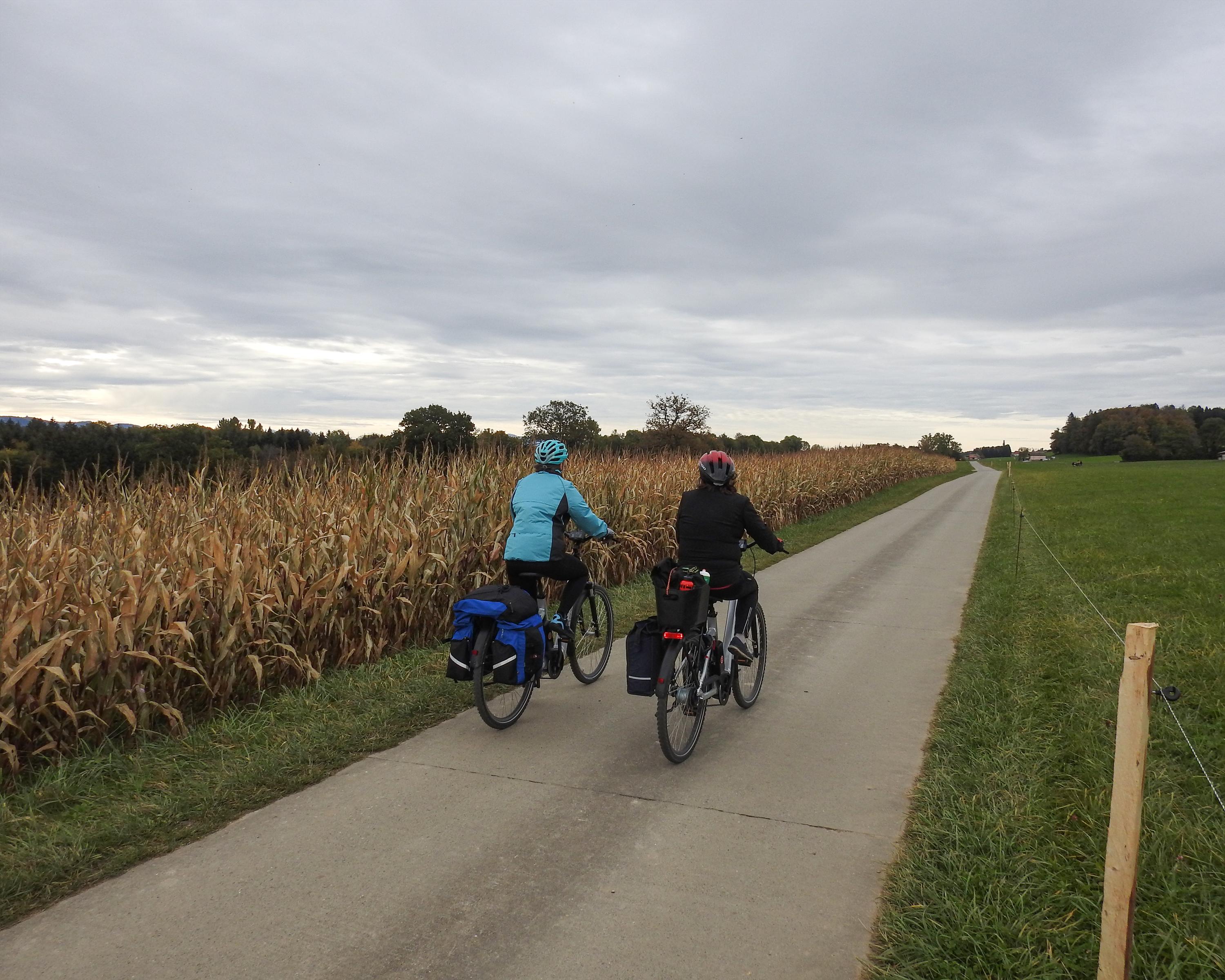
Biking in Bern
Sense–Glâne–Veveyse
Regional route No. 62, Bern – Châtel-St-Denis
Description
Regional route
No. 62 (Bern – Châtel-St-Denis)
Length
120 km
Ascent • Descent
↑ 2300 m • ↓ 2100 m
Lowest point • Highest point
523 m • 1024 m
Fitness level
medium
Regional route No. 62: Sense–Glâne–Veveyse
Stages
0. Romont FR – Châtel-St-Denis
0. Plaffeien – Romont FR
0. Bern – Schwarzenburg
0. Schwarzenburg – Plaffeien
To the east more rippled, to the west a little flatter. Streams cut their way through lush milk country. Constantly surprising views - of Lac de la Gruyère, the medieval hill town of Romont and an awe-inspiring Alpine panorama.
Comments on this information?
We welcome your feedback!
Presented by
Route
Height profile
Weather:
More...
Comments about this activity or place?
Incorrect information
Missing information
Another topic
Thank you for your feedback!
Close