DE
FR
IT
EN
Directory
Weather
Map / Route
Timetable
Leisure
TV guide
Cinema
Web search
Apps
More
Personal Data »
Login:
Register
Password forgotten
or
Log in with local.ch
Log in with Apple
Log in with Facebook
Log in with Google
Log in with LinkedIn
Please note that our new
privacy statement
as well as the revised
terms and conditions of use
apply.
Leisure
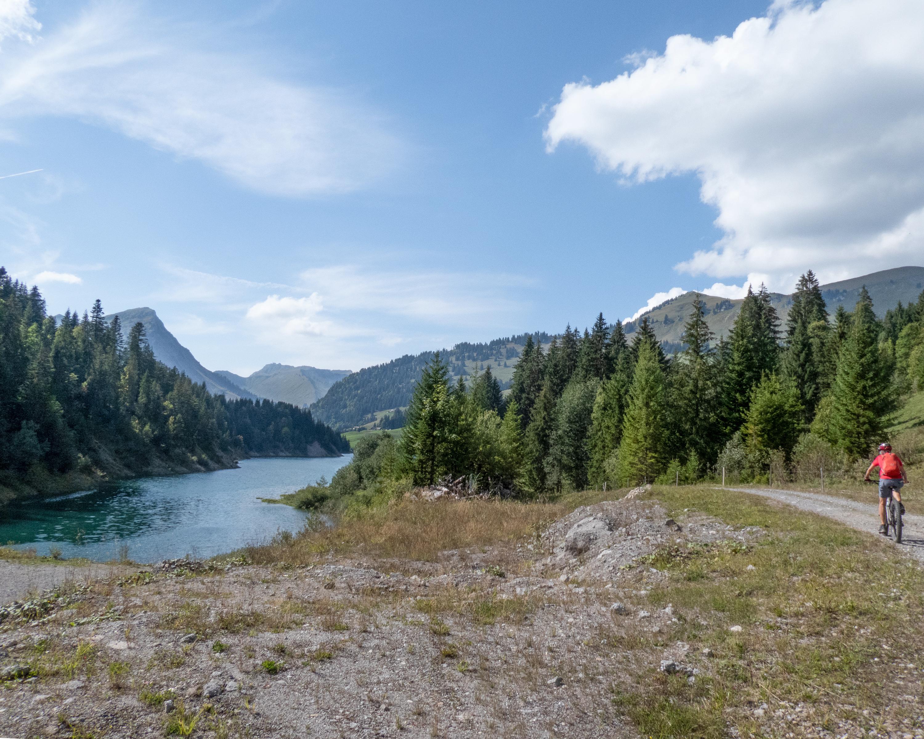
Mountain bike in Leysin - Les Mosses - La Lécherette
Alpine Bike
National route No. 1, Château-d'Oex–Leysin
Description
National route
No. 1 (Château-d'Oex–Leysin)
Length
39 km
Ascent • Descent
↑ 1700 m • ↓ 1400 m
Lowest point • Highest point
887 m • 1705 m
Grade
difficult
Fitness level
difficult
Steep ascent to the summit of the Col des Mosses, on picture-book meadow trails and mountain paths high above the valley to Leysin, always face to face with the Valais Alps.
Comments on this information?
We welcome your feedback!
Presented by
Route
Height profile
Weather:
More...
Comments about this activity or place?
Incorrect information
Missing information
Another topic
Thank you for your feedback!
Close