DE
FR
IT
EN
Directory
Weather
Map / Route
Timetable
Leisure
TV guide
Cinema
Web search
Apps
More
Personal Data »
Login:
Register
Password forgotten
or
Log in with local.ch
Log in with Apple
Log in with Facebook
Log in with Google
Log in with LinkedIn
Please note that our new
privacy statement
as well as the revised
terms and conditions of use
apply.
Leisure
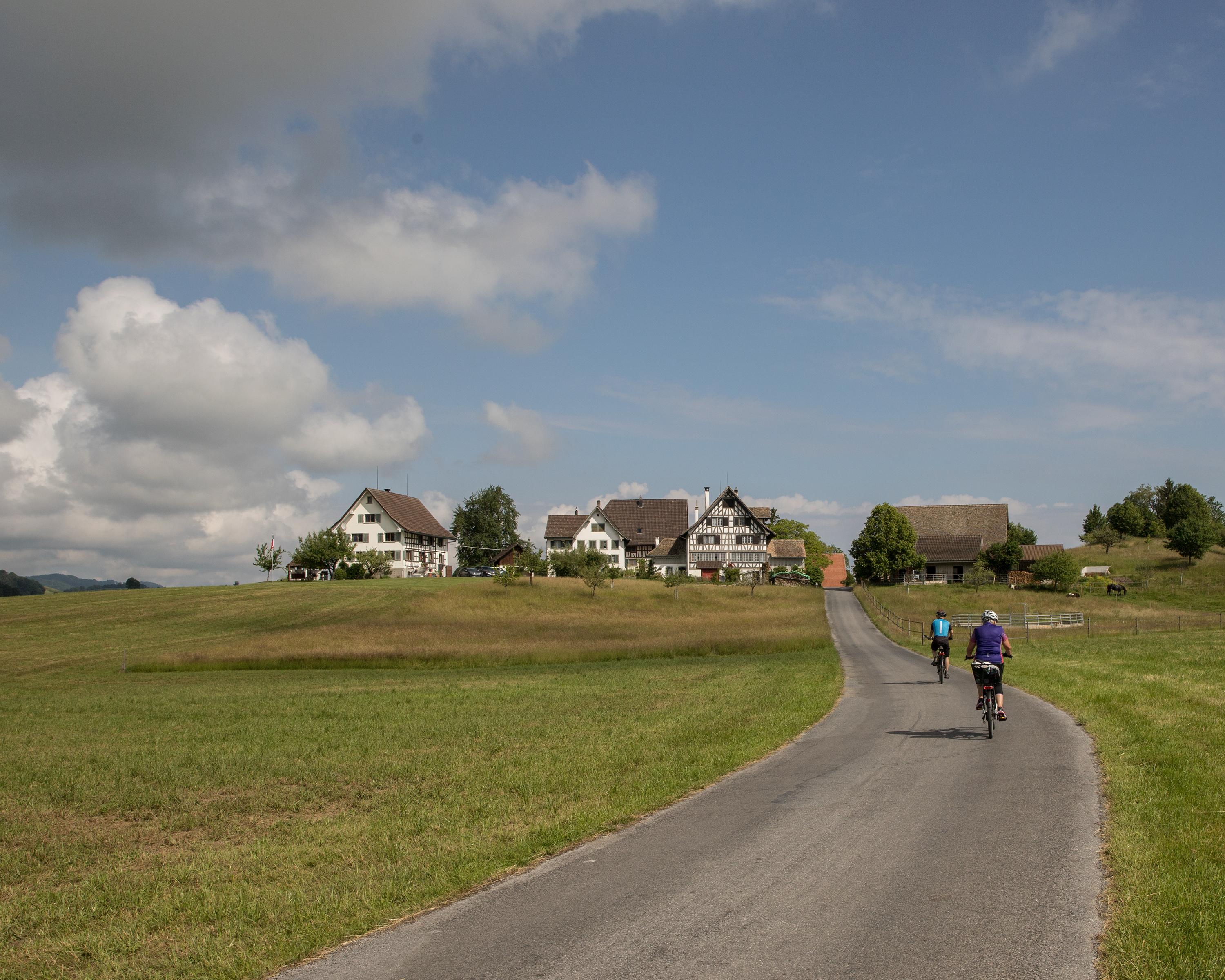
Biking in Lake Zurich
Rhein–Hirzel–Linth
Regional route No. 32, Zürich–Pfäffikon SZ
Description
Regional route
No. 32 (Zürich–Pfäffikon SZ)
Length
40 km
Ascent • Descent
↑ 600 m • ↓ 580 m
Lowest point • Highest point
404 m • 719 m
Fitness level
medium
The Zürichsee keeps tempers and tax coffers even, at Hirzel, glacial drumlins sit in a green moraine landscape and tiny idyllic marshy hollows and impressive villas lie as if simply tossed into a grandiose panoramic setting.
Comments on this information?
We welcome your feedback!
Presented by
Route
Height profile
Weather:
More...
Comments about this activity or place?
Incorrect information
Missing information
Another topic
Thank you for your feedback!
Close