search.ch

ViaJacobi

National route No. 4, Siebnen–Einsiedeln (St. Meinrad)
  • Image 1

Description

National route
No. 4 (Siebnen–Einsiedeln (St. Meinrad))
Length
11 km
Ascent • Descent
↑ 500 m • ↓ 110 m
Lowest point • Highest point
426 m • 823 m
Hiking time
3 h
Grade
easy (hiking trail)
Fitness level
medium
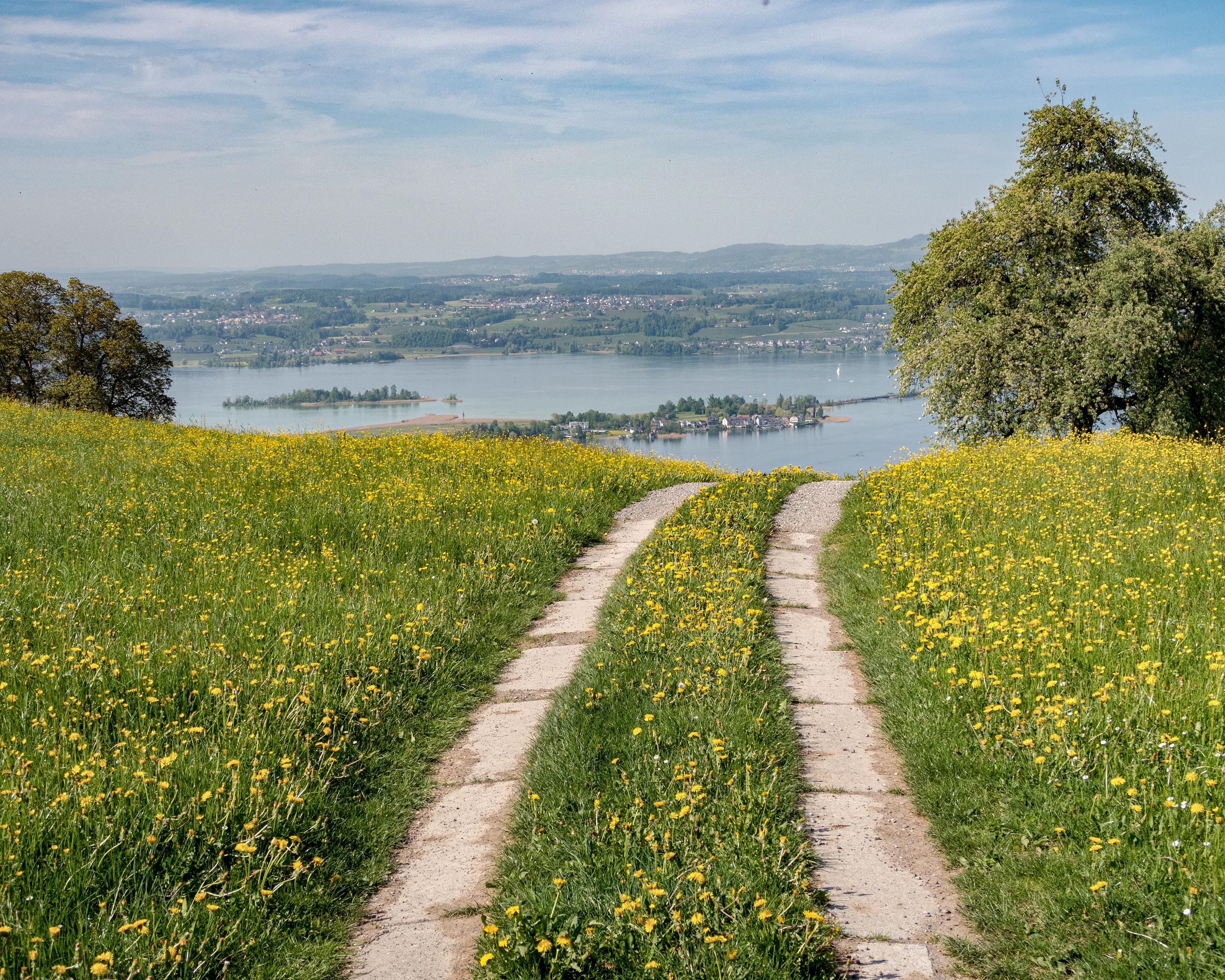
While the first half of this section is flat, the second part climbs high above Lake Zurich. Initially, the path is a paved road and leads across meadows and past residential areas through the rolling landscape. Bridges crossing a number of creeks and several chapels are a reminder of an old pilgrim’s path in this area.

Height profile

Weather:

Comments about this activity or place?

Thank you for your feedback!