search.ch

Bernina-Tour

Regional route No. 53, Diavolezza Bergstation–Pontresina
  • Image 1

Description

Regional route
No. 53 (Diavolezza Bergstation–Pontresina)
Length
14 km
Ascent • Descent
↑ 880 m • ↓ 1150 m
Lowest point • Highest point
1805 m • 2976 m
Hiking time
5 h 10 min
Grade
medium (mountain hiking trail)
Fitness level
difficult
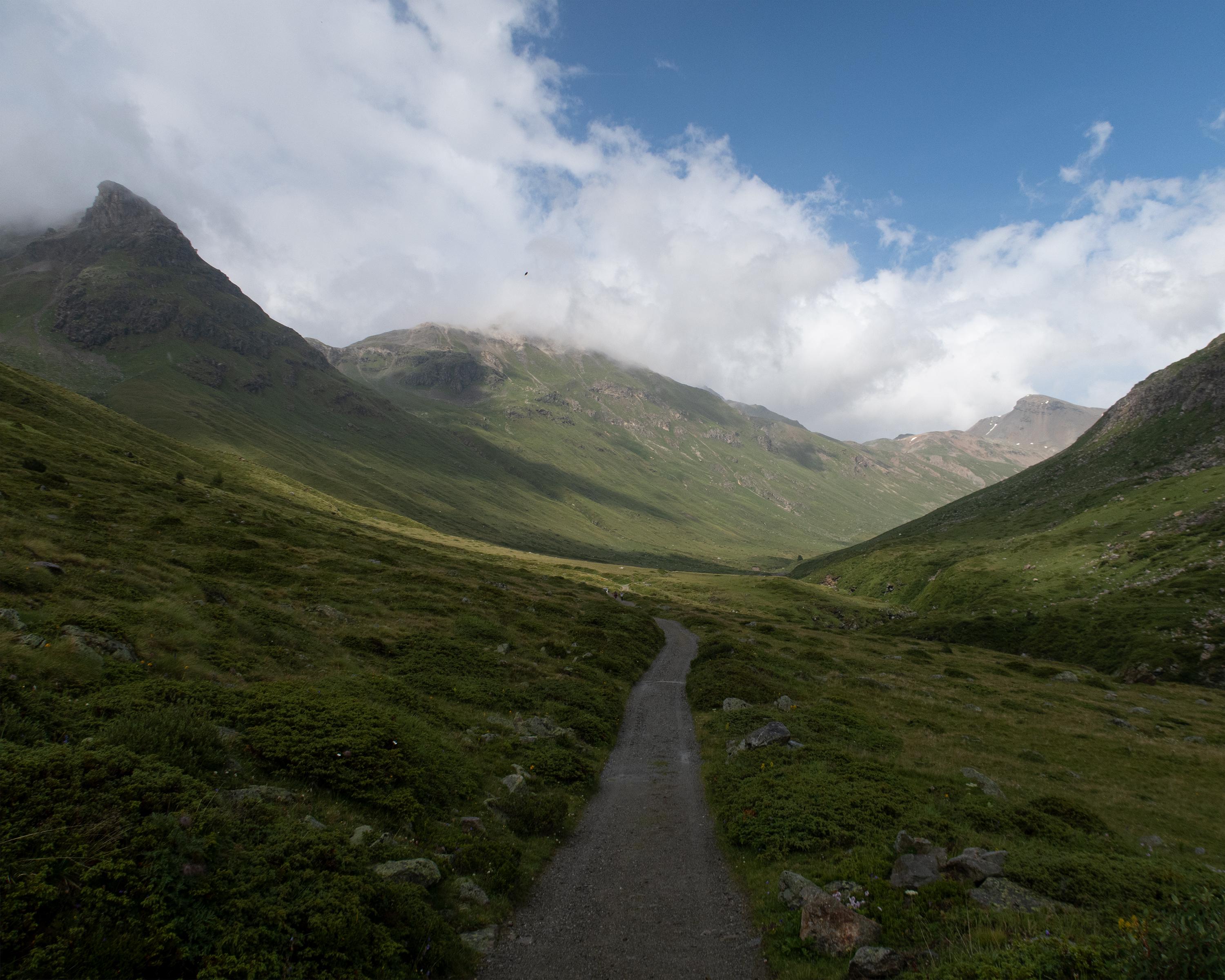
From the glacier world of the Diavolezza, the route heads into the Val da Fain, known for its marmots and magnificent alpine flora. With a bit of luck, you may spot an ibex in the rocks of Piz Albris. You finally descend over the vast stone desert of Fuorcla Pischa to the Engadine mountaineering village of Pontresina.

Height profile

Weather:

Comments about this activity or place?

Thank you for your feedback!