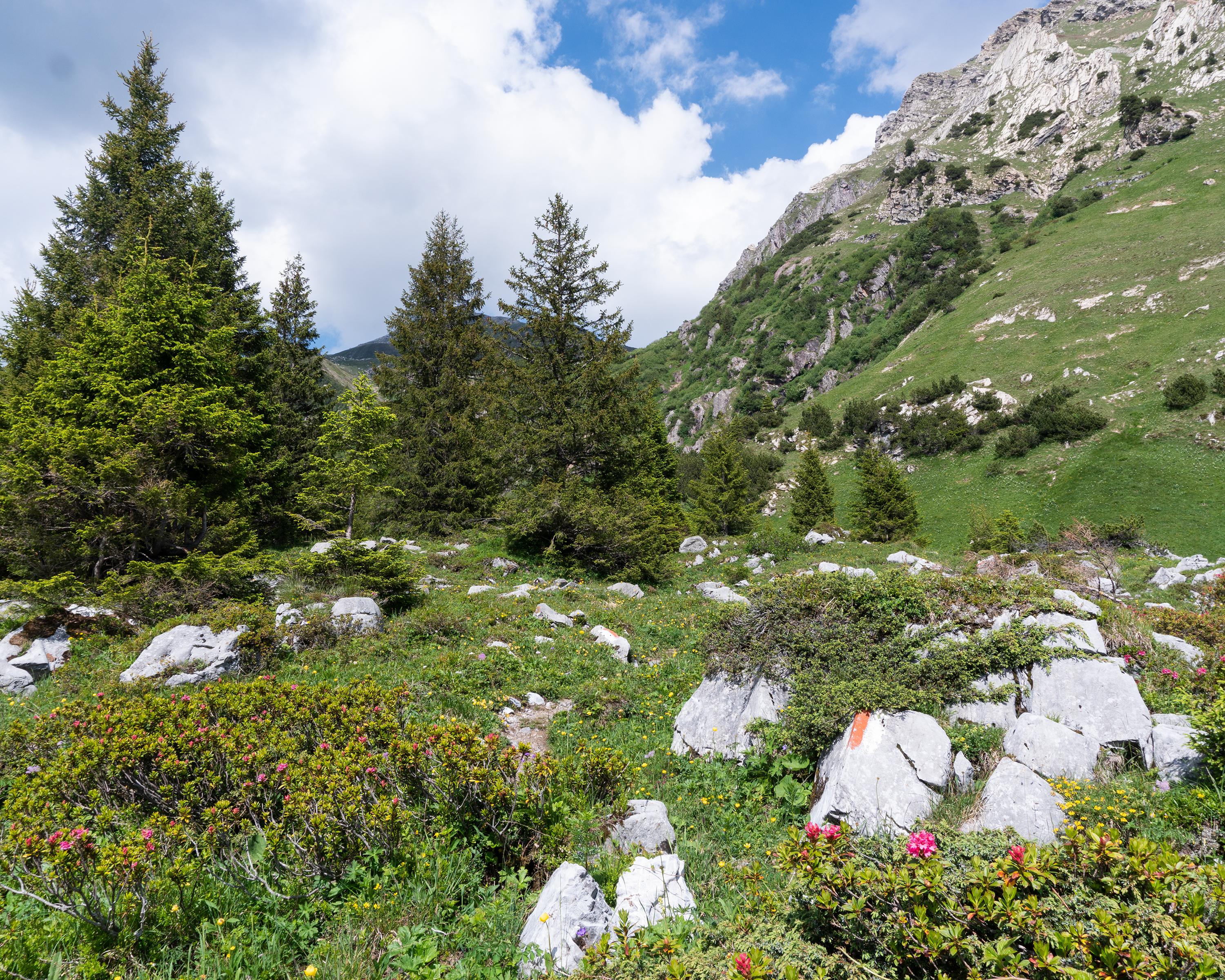
This hike passes through the Tectonic Arena Sardona world heritage site and offers pristine natural scenery and views into the Linth valley. Parts of this trail are bordered by a grotesque looking former pine forest, which was destroyed by bark beetles.

..Ennenda+(Aeugsten)&freizeit=1&noweather=1&width=400&height=200&x_axis_display=distance&polyline=%7B%60jk%40mxxKkyA%3FeB%5ESkBmA%5CUsA%7DA%3FW%7DAaACOaAmAa%40SuAu%40wAUgB%7C%40%5DUiAl%40u%40%5B_BDsASsASoASqAq%40i%40WqAo%40kAO_Bu%40aAQwAgAa%40W%7BA_AS%5BmAoA%5B%5ByAkAq%40U%7DA_Ao%40KqAy%40q%40GoAq%40qA%5B_Bk%40g%40YmAmAU%5D_BaAi%40UqAo%40q%40YuAy%40o%40%5BuAs%40m%40YyAgAi%40U%7BAaAUIoAqAD%3FwAk%40sAIaBe%40_A%40kAc%40wAC_BeA%7B%40G%7BAs%40%7D%40EqAYoAEsA%40wAAwATkAAoACwA%40yAn%40cAAwA%7E%40N%40sAz%40_%40D%7BAPmA%40yAl%40aACwAPgACqAh%40kADyAx%40u%40EsA%60As%40DyAjA_%40F%7BA%7E%40e%40EqAbA_%40IwAz%40k%40AsAjAg%40KwA%7E%40s%40IyA%7E%40k%40OsAbAo%40SwAjAs%40%3F%7BAjAe%40L%7BABdALqANpADuAKpABuA%60%40nAJwARzALaBXfAJoATvAHyAJlALqAKrAZ_BBhANiADxAPyARvATyAs%40bA%60%40wAYjALqAk%40v%40%5C%7BAHx%40ZyAt%40j%40%5CqAv%40lAh%40_BaAb%40NsAa%40jALuAm%40%7E%40BsASjAJ_B%5Cz%40ZsA%40pABsAZpA%40wADtAEuAj%40fADyAl%40rA%40gBJdAQeA%5CdAJoAx%40fAR_Bd%40%60ALqAr%40n%40XwAPzAT_BIpARqAq%40b%40VsAk%40n%40XwAz%40jARaBfAZPmAtADTuArAGRuAlAe%40VuApASLuA)