DE
FR
IT
EN
Directory
Weather
Map / Route
Timetable
Leisure
TV guide
Cinema
Web search
Apps
More
Personal Data »
Login:
Register
Password forgotten
or
Log in with local.ch
Log in with Apple
Log in with Facebook
Log in with Google
Log in with LinkedIn
Please note that our new
privacy statement
as well as the revised
terms and conditions of use
apply.
Leisure
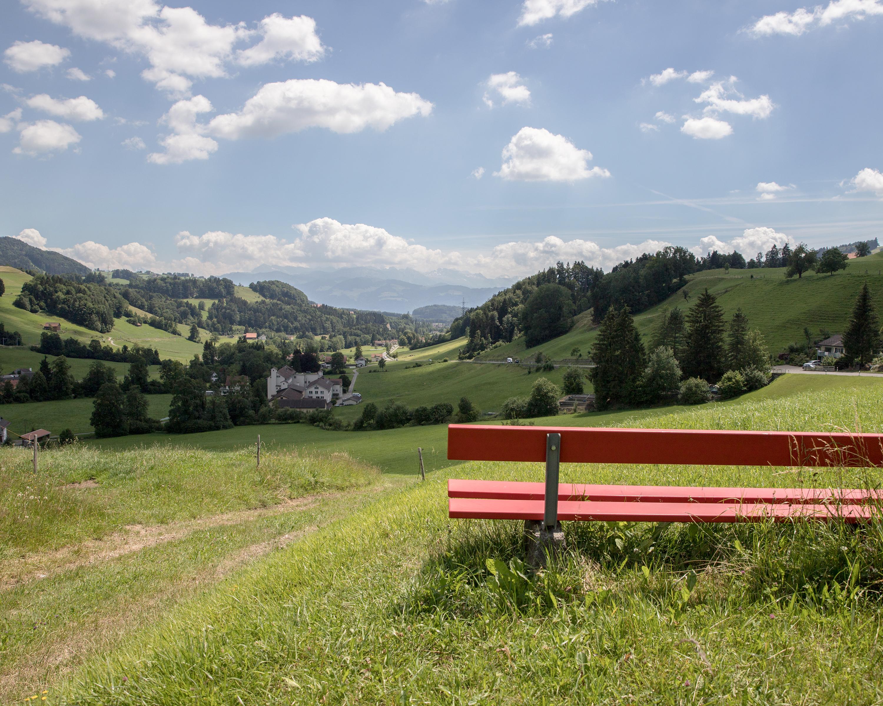
Biking in Zurich Region
Töss-Jona-Route
Regional route No. 53, Turbenthal–Rapperswil
Description
Regional route
No. 53 (Turbenthal–Rapperswil)
Length
39 km
Ascent • Descent
↑ 340 m • ↓ 480 m
Lowest point • Highest point
408 m • 764 m
Fitness level
easy
The winding Töss could be a raging torrent after a storm but has been tamed by numerous industrial canals, creating a lot of power and some regret. Tössbergerland is shaped by forested hills, steep slopes and rugged ravines.
Comments on this information?
We welcome your feedback!
Presented by
Route
Height profile
Weather:
More...
Comments about this activity or place?
Incorrect information
Missing information
Another topic
Thank you for your feedback!
Close