Local route No. 131, Stage 1: Rougemont – Rossinière
Description
Local route
No. 131
Length
14 km
Ascent • Descent
↑ 360 m • ↓ 460 m
Lowest point • Highest point
871 m • 999 m
Hiking time
3 h 50 min
Grade
easy
Fitness level
medium
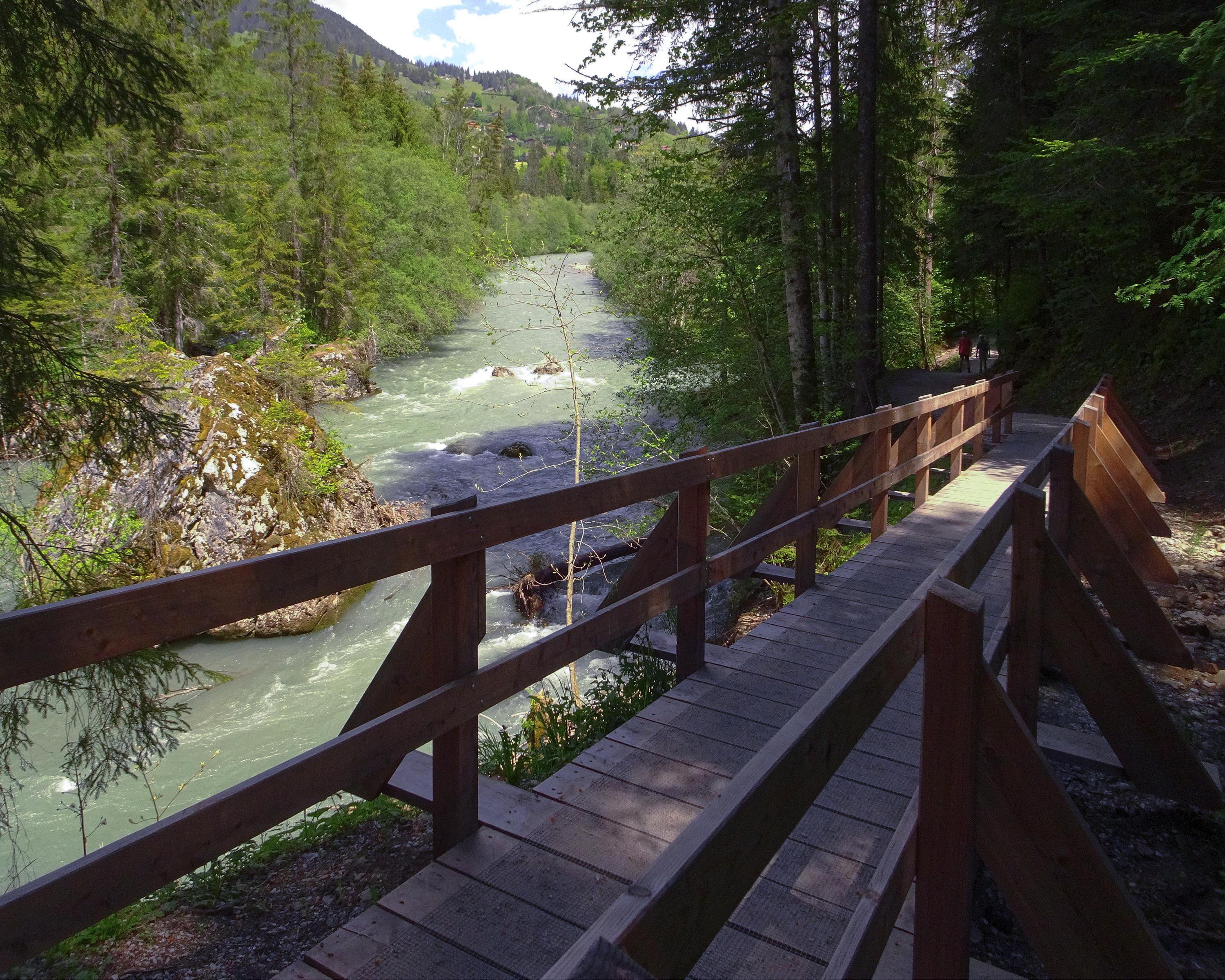
From Rougemont, which was once the priory of Cluny, the trial goes over the Kirchenhügel from Château-d'Oex to the Grand Chalet of Rossinière. It goes between the rushing Saane and landscape steeped in history, moulded by the mountain farmers.