search.ch

Panyer Rundweg

Local route No. 699, Pany, Schwimmbad–Pany, Schwimmbad
  • Image 1

Description

Local route
No. 699 (Pany, Schwimmbad–Pany, Schwimmbad)
Length
16 km
Ascent • Descent
↑ 1050 m • ↓ 1050 m
Lowest point • Highest point
1337 m • 2194 m
Hiking time
5 h 45 min
Grade
medium (mountain hiking trail)
Fitness level
difficult
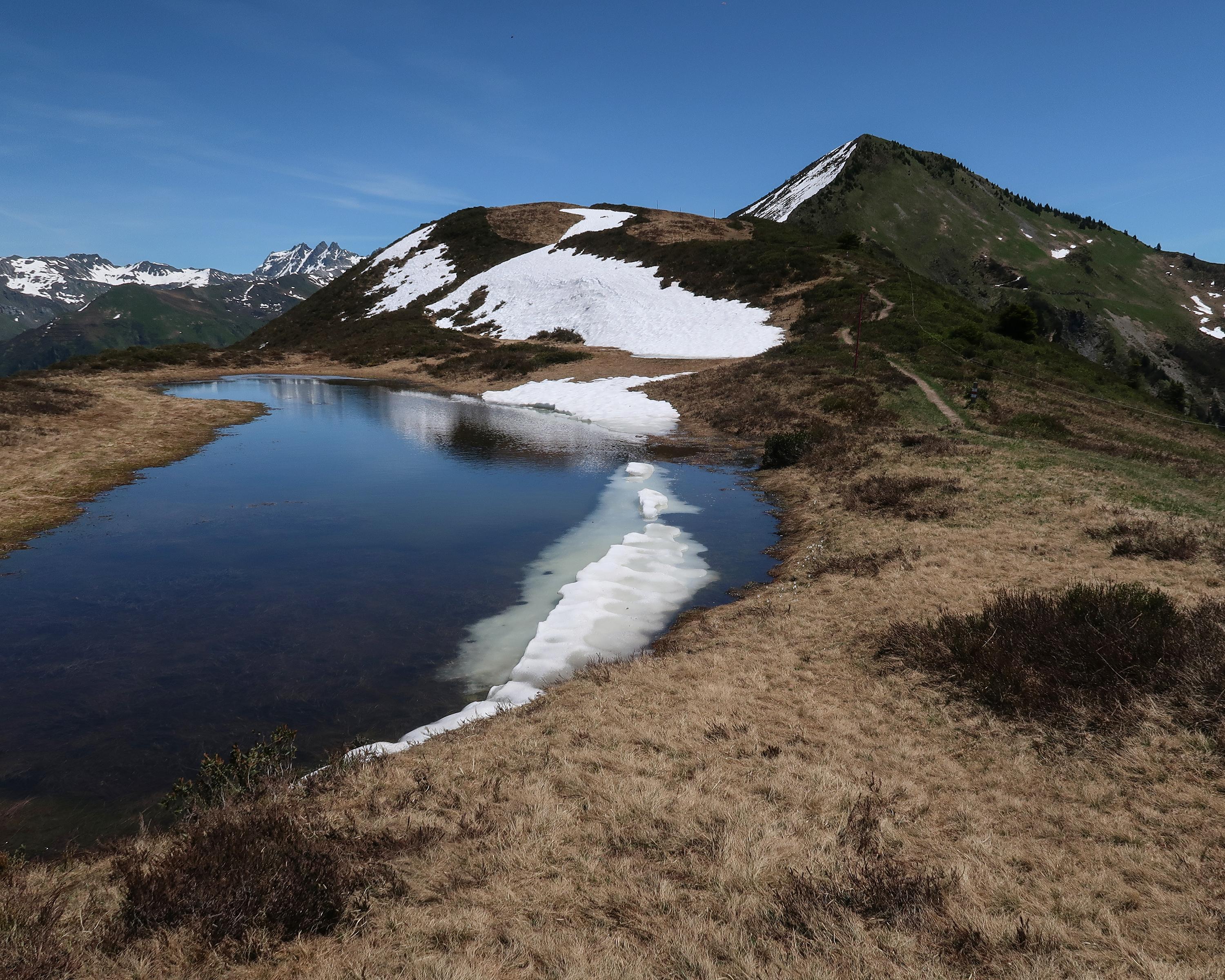
Day-long hike over the alpine pastures of Valpun up to Chrüz. At the idyllic mountain lake you can admire the white water lilies and dragonflies. Another highlight: the 70-metre-long suspension bridge over the Grüsttobel. You hike back to Pany via Tratza.

Booking Information

Height profile

Weather:

Pany-St. Antönien Tourismus

Comments about this activity or place?

Thank you for your feedback!