search.ch

Grenzpfad Napfbergland, Stage 3/6

Regional route No. 65, Stage 3: Napf – Trubschachen
  • Image 1

Description

Regional route
No. 65 (Langenthal – Brünigpass)
Length
18 km
Ascent • Descent
↑ 520 m • ↓ 1200 m
Lowest point • Highest point
732 m • 1403 m
Hiking time
5 h 10 min
Grade
easy
Fitness level
difficult
Regional route No. 65: Grenzpfad Napfbergland
Stages
0. Langenthal – Huttwil
0. Huttwil – Napf
0. Napf – Trubschachen
0. Trubschachen – Marbach
0. Marbach – Brienzer Rothorn
0. Brienzer Rothorn – Brünigpass
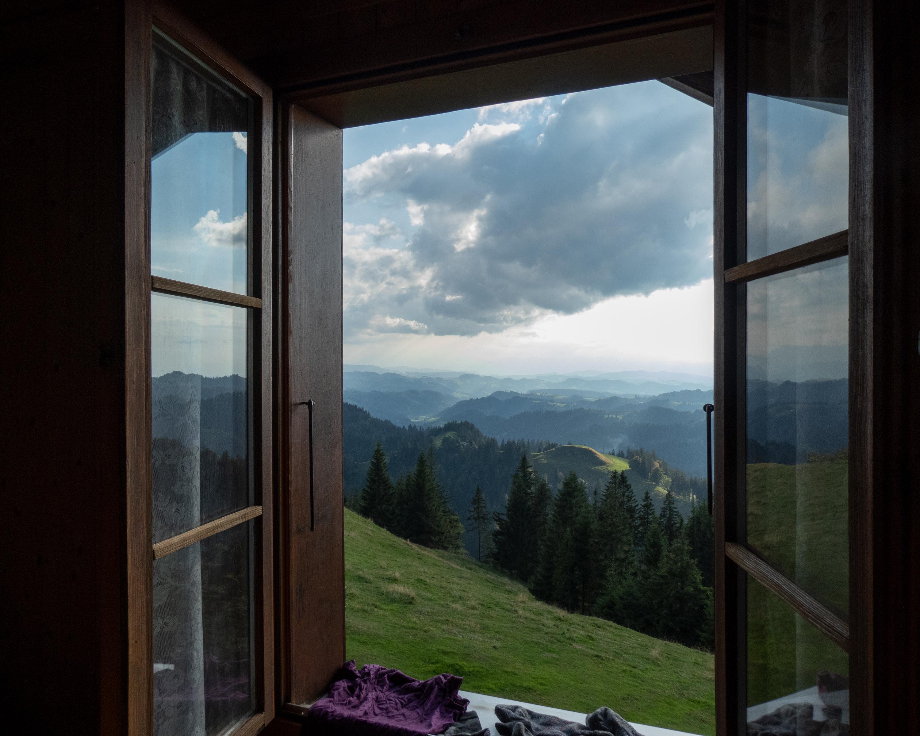
The high-level hike with panoramic views leads in a southerly direction down from the Napf through coniferous forests and on gravel roads. Over typical wooden bridges and past geranium-festooned farmhouses, you reach Trubschachen in the heart of the Emmental.

Height profile

Weather:

Comments about this activity or place?

Thank you for your feedback!