DE
FR
IT
EN
Directory
Weather
Map / Route
Timetable
Leisure
TV guide
Cinema
Web search
Apps
More
Personal Data »
Login:
Register
Password forgotten
or
Log in with local.ch
Log in with Apple
Log in with Facebook
Log in with Google
Log in with LinkedIn
Please note that our new
privacy statement
as well as the revised
terms and conditions of use
apply.
Leisure
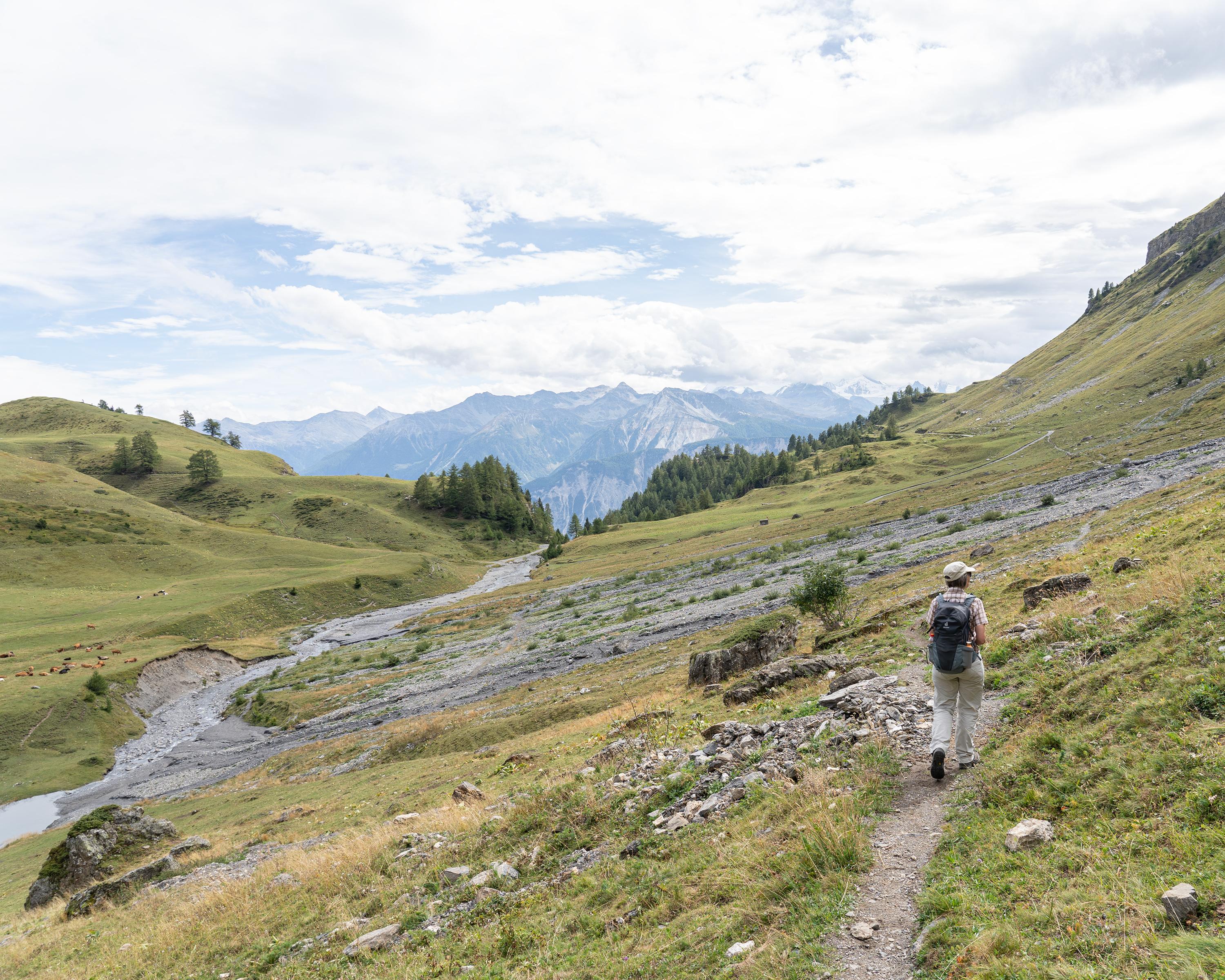
Hike in Valais
Sentier Panorama 4000
Local route No. 224, Crans-Montana, Cry-d'Er–Crans-Montana, Aminona
Description
Local route
No. 224 (Crans-Montana, Cry-d'Er–Crans-Montana, Aminona)
Length
14 km
Ascent • Descent
↑ 520 m • ↓ 1250 m
Lowest point • Highest point
1468 m • 2398 m
Hiking time
4 h 25 min
Grade
medium (mountain hiking trail)
Fitness level
difficult
Panoramic hike above Crans-Montana. The main attraction: the magnificent view of the 4000-metre mountain range and the Rhone valley. Another scenic highlight is the section in the Tièche valley.
Booking Information
E-mail:
information@crans-montana.ch
Comments on this information?
We welcome your feedback!
Presented by
Route
Height profile
Weather:
More...
Crans-Montana Tourisme & Congrès
Route des Arolles 4, 3963 Crans-Montana
Crans-Montana Tourisme & Congrès
Route des Arolles 4, 3963 Crans-Montana
027 485 04 04
Comments about this activity or place?
Incorrect information
Missing information
Another topic
Thank you for your feedback!
Close