search.ch

Prättigauer Höhenweg, Stage 2/4

Regional route No. 72, Stage 2: Schesaplanahütte – Carschinahütte
  • Image 1

Description

Regional route
No. 72 (Landquart – Klosters)
Length
16 km
Ascent • Descent
↑ 950 m • ↓ 640 m
Lowest point • Highest point
1906 m • 2259 m
Hiking time
5 h 10 min
Grade
medium
Fitness level
difficult
Regional route No. 72: Prättigauer Höhenweg
Stages
0. Schesaplanahütte – Carschinahütte
0. Landquart – Schesaplanahütte
0. St. Antönien – Klosters
0. Carschinahütte – St. Antönien
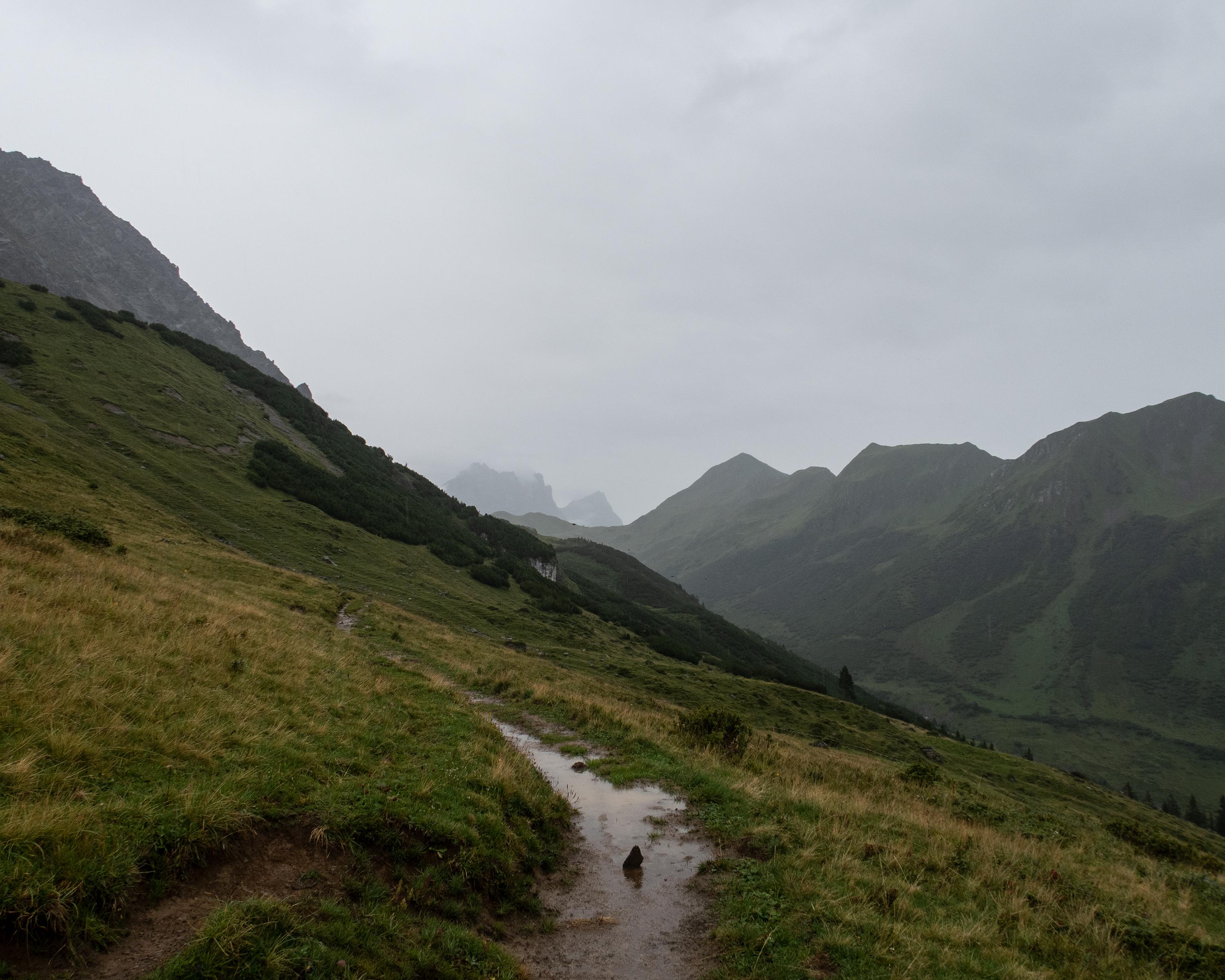
The border with Austria runs along the mountain peaks between Schesaplana and Sulzfluh. Directly below, the high-level hike leads across steep alpine pastures on the southern slope. The far-reaching views over the Prättigau and the mighty, bare limestone cliffs attract climbing enthusiasts from all over the world.

Height profile

Weather:

Comments about this activity or place?

Thank you for your feedback!