search.ch

Reiatweg

Local route No. 902, Thayngen–Thayngen
  • Image 1

Description

Local route
No. 902 (Thayngen–Thayngen)
Length
19 km
Ascent • Descent
↑ 560 m • ↓ 560 m
Lowest point • Highest point
444 m • 685 m
Hiking time
5 h 10 min
Grade
easy (hiking trail)
Fitness level
difficult
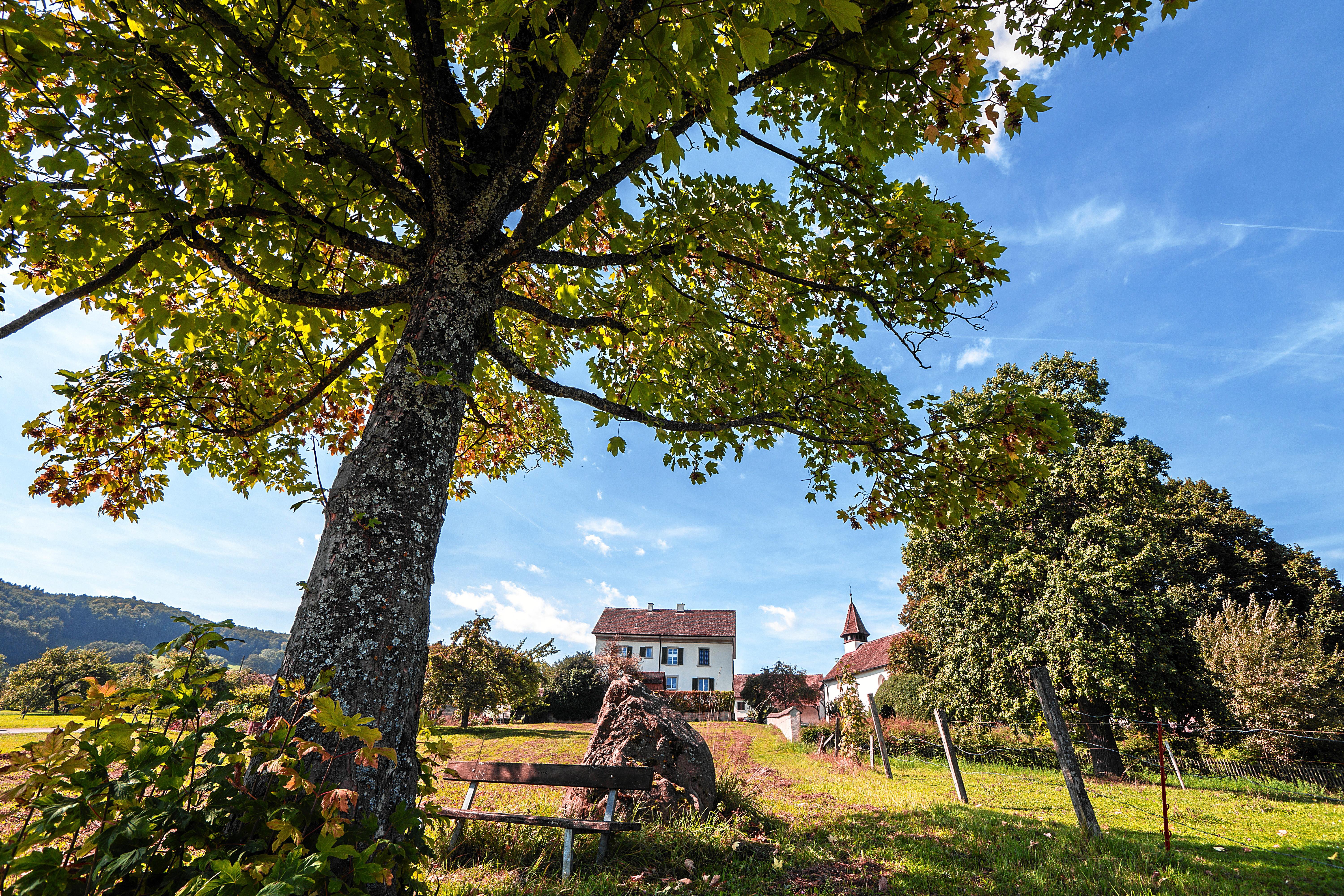
In the far north of Switzerland, this route snakes its way through the hilly landscape that typifies the region, past green meadows, vineyards and forests. The vista encompasses the Alpine chain and the Hegau landscape in Germany with its characteristic volcanic cones.

Booking Information

Height profile

Weather:

Schaffhauserland Tourismus

Comments about this activity or place?

Thank you for your feedback!