DE
FR
IT
EN
Directory
Weather
Map / Route
Timetable
Leisure
TV guide
Cinema
Web search
Apps
More
Personal Data »
Login:
Register
Password forgotten
or
Log in with local.ch
Log in with Apple
Log in with Facebook
Log in with Google
Log in with LinkedIn
Please note that our new
privacy statement
as well as the revised
terms and conditions of use
apply.
Leisure
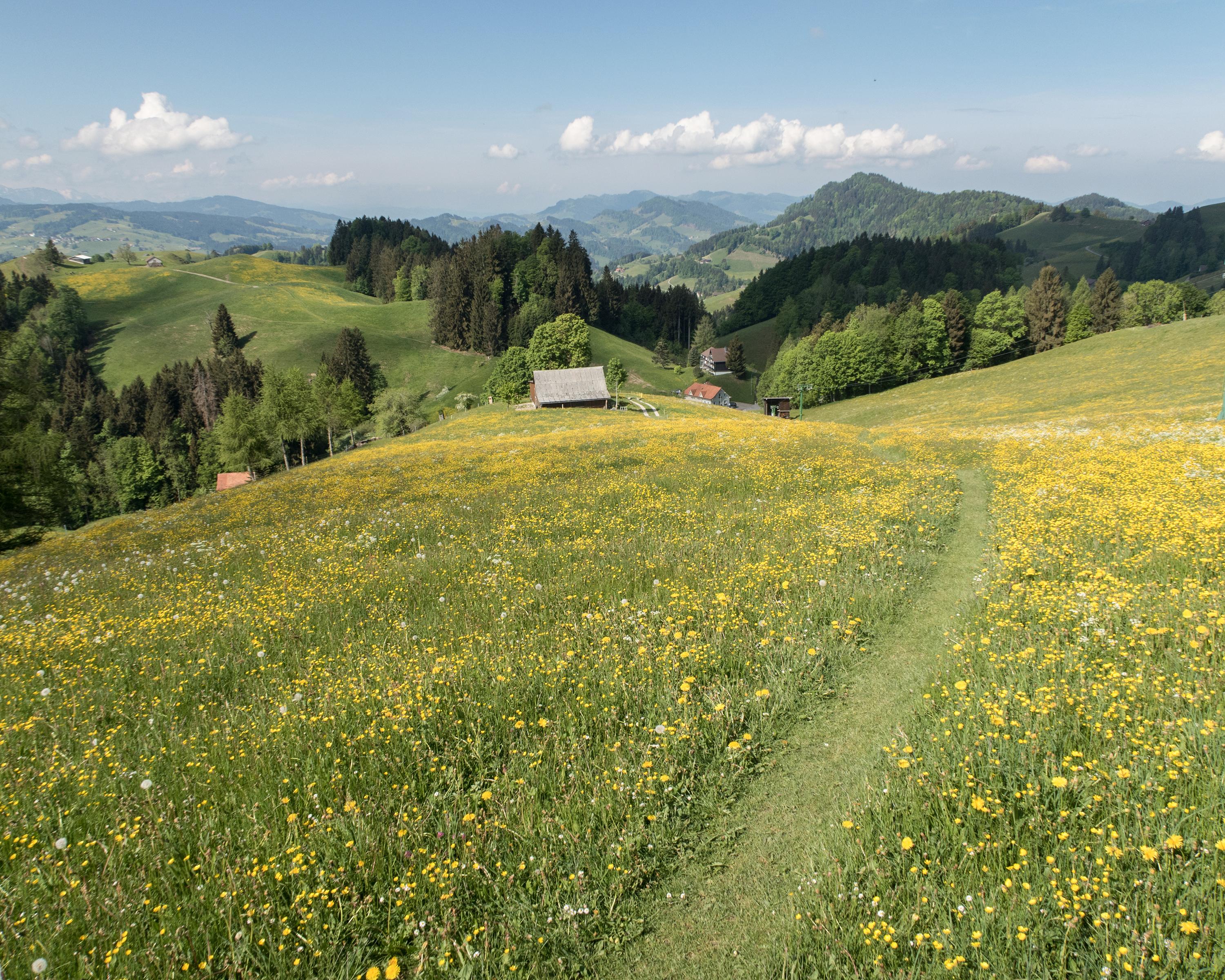
Hike in Toggenburg
ViaJacobi
National route No. 4, Herisau–Wattwil
Description
National route
No. 4 (Herisau–Wattwil)
Length
24 km
Ascent • Descent
↑ 1000 m • ↓ 1200 m
Lowest point • Highest point
611 m • 1084 m
Hiking time
7 h 15 min
Grade
easy (hiking trail)
Fitness level
difficult
Herisau, Appenzell's oldest parish seat, is the starting point of this stage. The route leads through the multifaceted hilly landscape of Appenzell and Toggenburg, past hamlets and farms, to the former textile centre of Wattwil.
Comments on this information?
We welcome your feedback!
Presented by
Route
Height profile
Weather:
More...
Comments about this activity or place?
Incorrect information
Missing information
Another topic
Thank you for your feedback!
Close