DE
FR
IT
EN
Directory
Weather
Map / Route
Timetable
Leisure
TV guide
Cinema
Web search
Apps
More
Personal Data »
Login:
Register
Password forgotten
or
Log in with local.ch
Log in with Apple
Log in with Facebook
Log in with Google
Log in with LinkedIn
Please note that our new
privacy statement
as well as the revised
terms and conditions of use
apply.
Leisure
Hike in Glarnerland
ViaSuworow
Regional route No. 55, Hinter Klöntal–Glarus
Description
Regional route
No. 55 (Hinter Klöntal–Glarus)
Length
14 km
Ascent • Descent
↑ 180 m • ↓ 560 m
Lowest point • Highest point
471 m • 858 m
Hiking time
3 h 35 min
Grade
easy (hiking trail)
Fitness level
medium
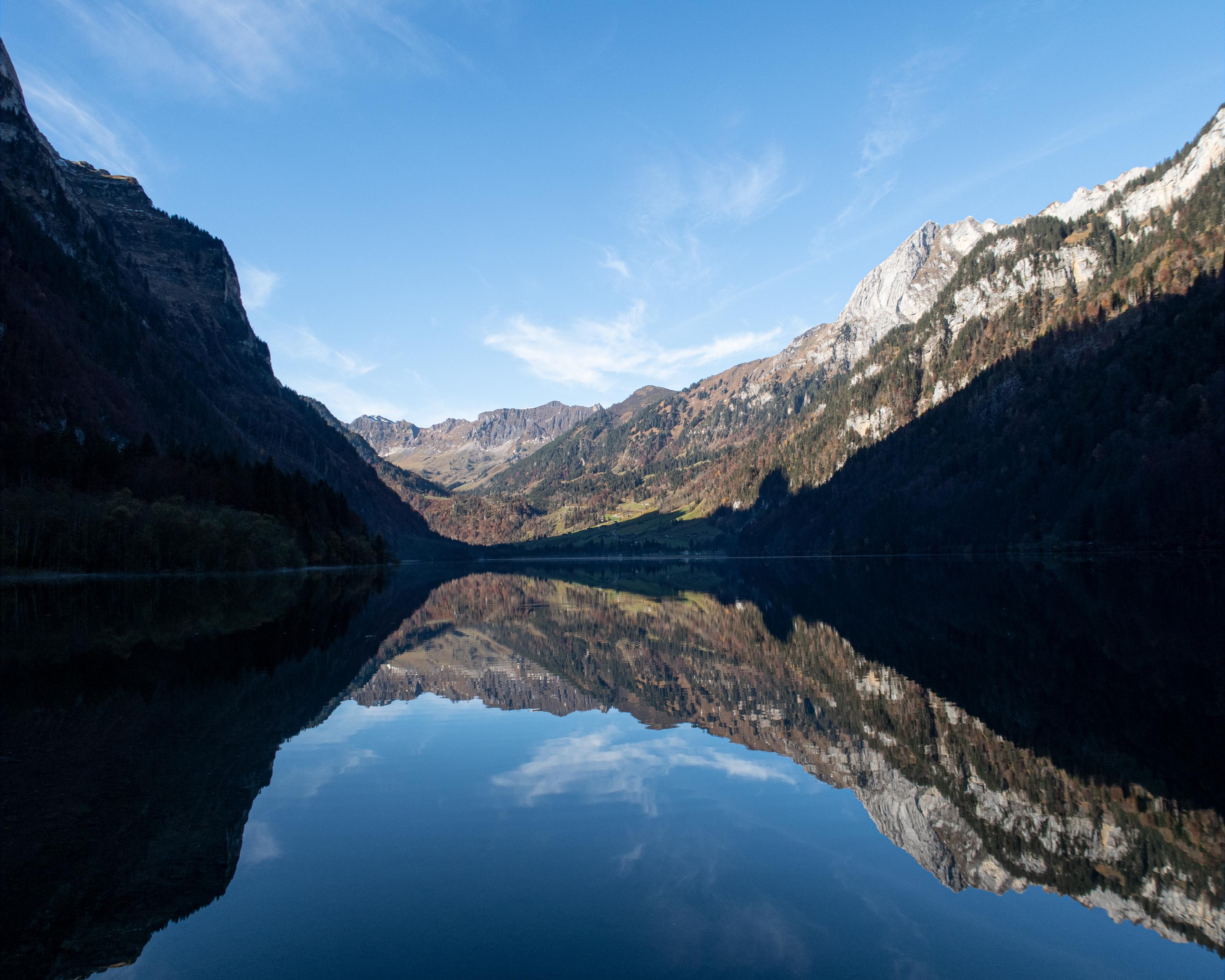
The trail leads alongside the Klöntalersee (lake) between mighty cliff faces down to Glarus. Anyone chancing a dip in the Klöntalsee may find the Russian war chest. It's reputed to have been sunk in the lake as the French attacked.
Comments on this information?
We welcome your feedback!
Presented by
Route
Height profile
Weather:
More...
Comments about this activity or place?
Incorrect information
Missing information
Another topic
Thank you for your feedback!
Close