DE
FR
IT
EN
Directory
Weather
Map / Route
Timetable
Leisure
TV guide
Cinema
Web search
Apps
More
Personal Data »
Login:
Register
Password forgotten
or
Log in with local.ch
Log in with Apple
Log in with Facebook
Log in with Google
Log in with LinkedIn
Please note that our new
privacy statement
as well as the revised
terms and conditions of use
apply.
Leisure
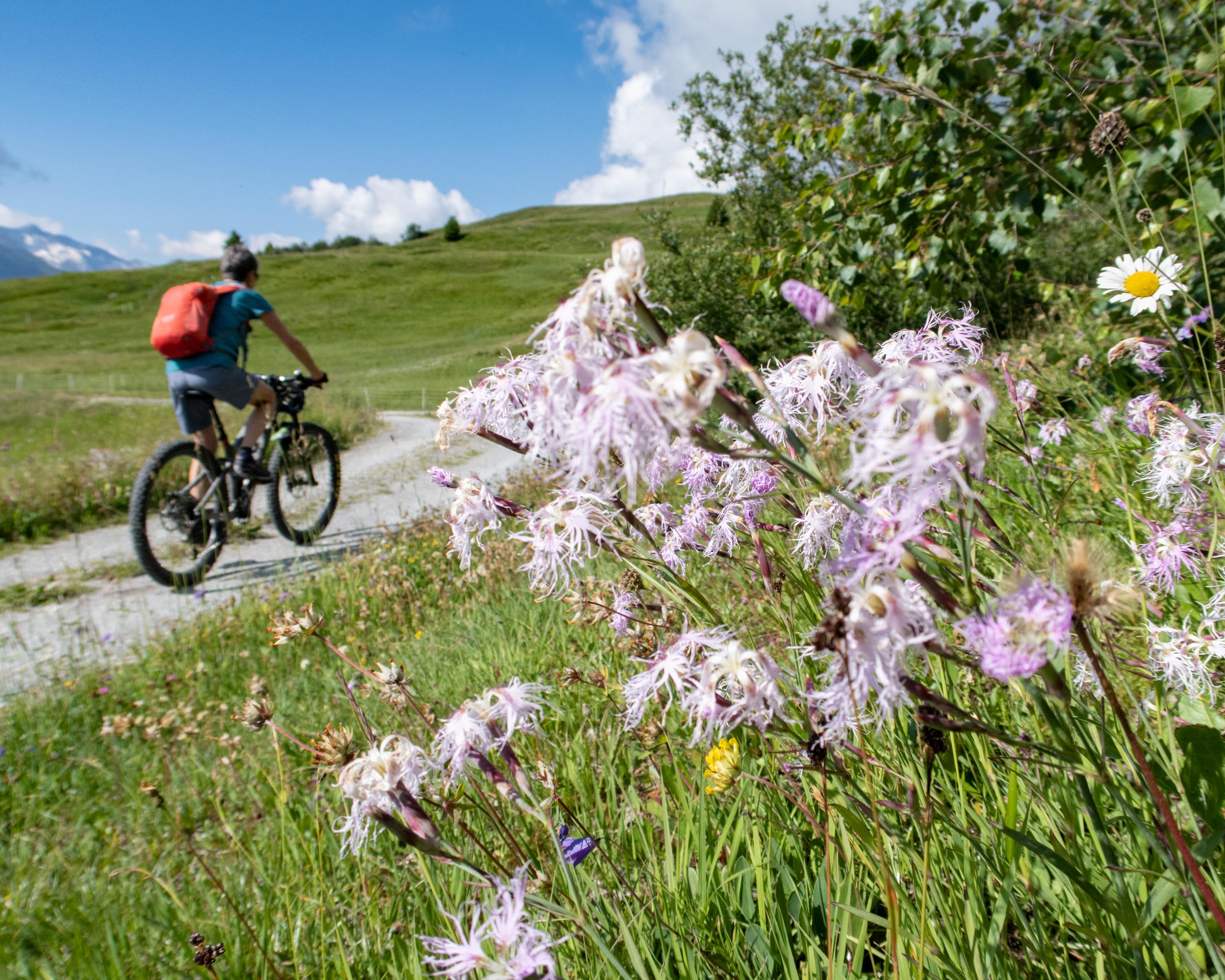
Mountain bike in Obersaxen Mundaun
Alpine Bike
National route No. 1, Lumbrein–Disentis
Description
National route
No. 1 (Lumbrein–Disentis)
Length
40 km
Ascent • Descent
↑ 1250 m • ↓ 1650 m
Lowest point • Highest point
833 m • 2079 m
Grade
medium
Fitness level
difficult
Long ascent from peaceful Val Lumnezia to Alp Sezner. The descent into Surselva on easy meadow trails is like flying. From Trun an almost effortless pedal in shady meadow woodland along the Vorderrheins with its shingle banks and islands.
Comments on this information?
We welcome your feedback!
Presented by
Route
Height profile
Weather:
More...
Comments about this activity or place?
Incorrect information
Missing information
Another topic
Thank you for your feedback!
Close