search.ch

Jakobsweg Graubünden

Regional route No. 43, Scuol–Guarda
  • Image 1

Description

Regional route
No. 43 (Scuol–Guarda)
Length
15 km
Ascent • Descent
↑ 740 m • ↓ 380 m
Lowest point • Highest point
1282 m • 1669 m
Hiking time
4 h 20 min
Grade
medium (mountain hiking trail)
Fitness level
medium
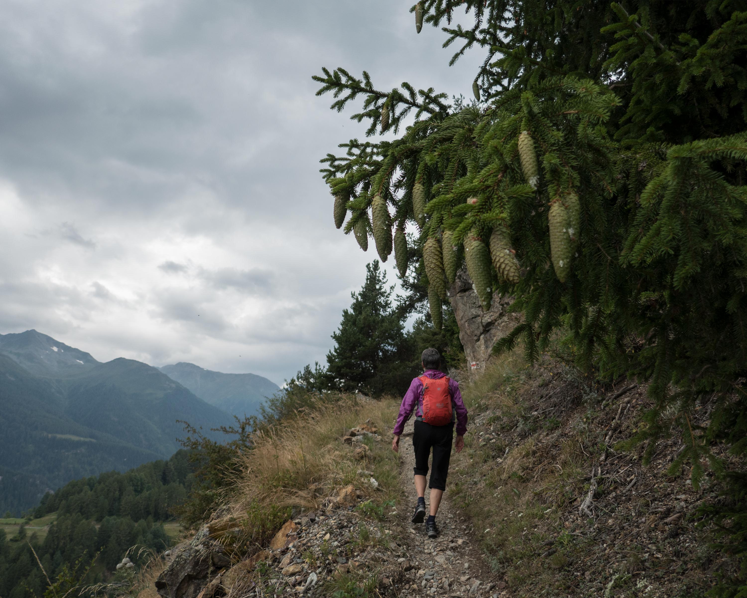
The hike through the Lower Engadine offers insights into the Rhaeto-Romanic language and housing culture. The breathtaking views of the three-thousand-metre peaks, the Schellen-Ursli village of Guarda and a ruin that dates back over a thousand years enrich this hike in the silence of the mountains.

Height profile

Weather:

Comments about this activity or place?

Thank you for your feedback!