search.ch

Walserweg

Regional route No. 35, Arosa–Langwies
  • Image 1

Description

Regional route
No. 35 (Arosa–Langwies)
Length
15 km
Ascent • Descent
↑ 660 m • ↓ 1050 m
Lowest point • Highest point
1372 m • 2084 m
Hiking time
4 h 50 min
Grade
medium (mountain hiking trail)
Fitness level
difficult
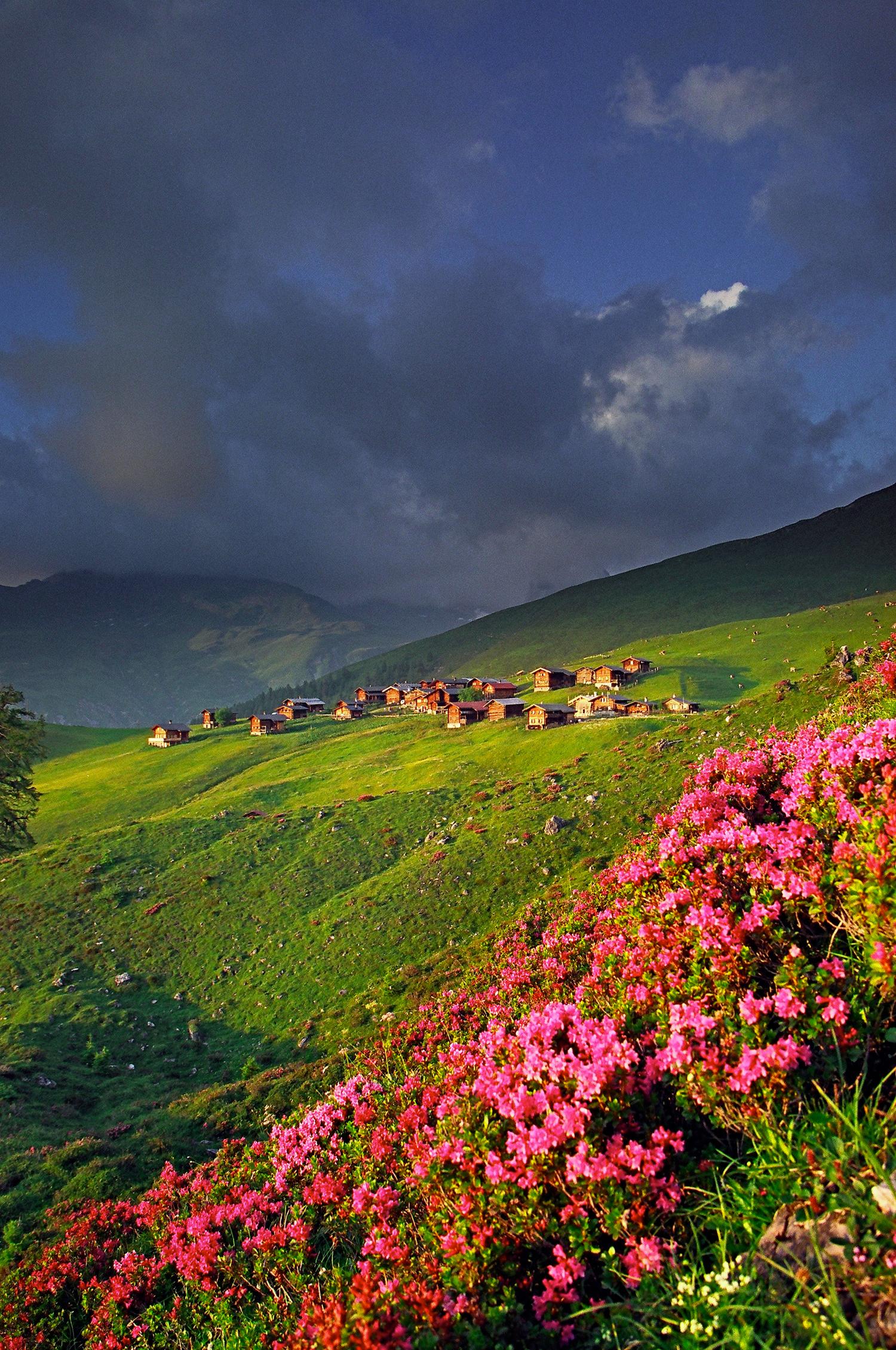
The hike leads north of Arosa through the forest and beyond the tree line over alpine meadows. It then descends more than 650 vertical metres into the valley. Imposing peaks, sweeping horse pastures and sun-baked wooden houses bring to life the times when the Walser people lived in this wild valley all year round.

Height profile

Weather:

Comments about this activity or place?

Thank you for your feedback!