search.ch

ViaSett

Regional route No. 64, Chur–Chiavenna (I)
  • Image 1

Description

Regional route
No. 64 (Chur–Chiavenna (I))
Length
110 km
Ascent • Descent
↑ 4600 m • ↓ 4800 m
Lowest point • Highest point
332 m • 2311 m
Grade
medium (mountain hiking trail)
Fitness level
difficult
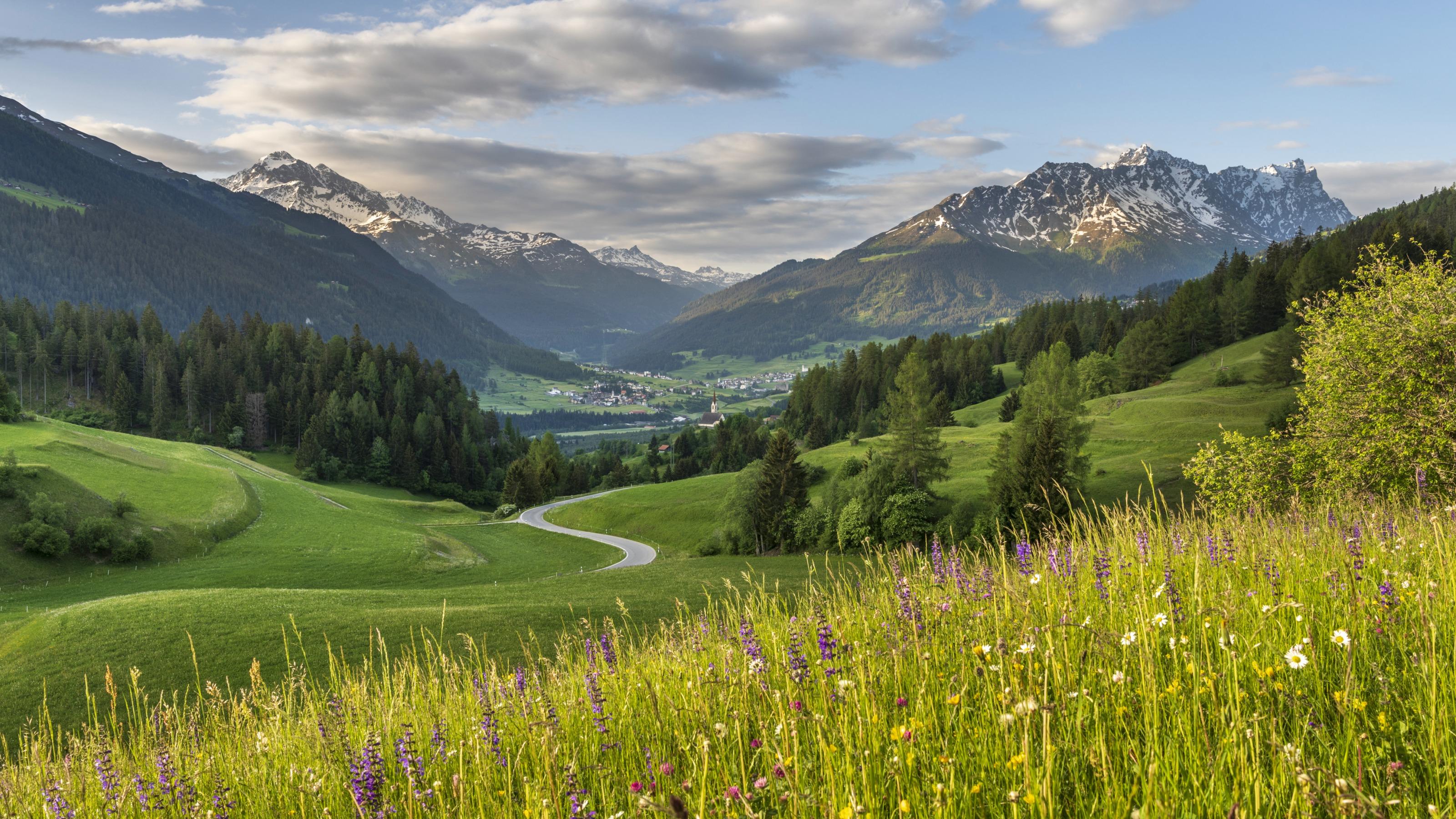
Cross the Septimer on foot, from one Alpine town to another: the route runs from Chur through the Churwalden Valley, Lenzerheide, Surses in Parc Ela and Bregaglia to Chiavenna (Italy). Explore three linguistic and cultural regions and a diverse cultural landscape – from pastures to chestnut groves.

Height profile

Weather:

Comments about this activity or place?

Thank you for your feedback!